top of page
Anchor 1

GM Johnson

empty-logo.png
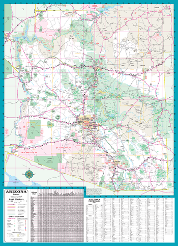
Arizona State Road Map

Arizona State Road Map

A Five Star Road Map of Arizona. Also Includes: Complete Index & Mileage Chart

Page Size: 19.75 x 27.25 in (502 x 692 mm)

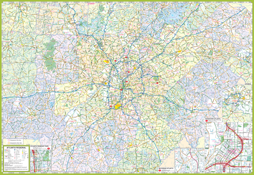
Atlanta and Vicinity Map

Atlanta and Vicinity Map

Atlanta & Vicinity, Georgia Regional Map. Including Enlargements of: Athens, Atlanta Downtown, Buckhead & Piedmont Park Area.

Page Size: 39.5 x 27.25 in (1003 x 692 mm)

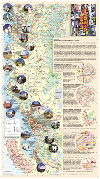
California Missions Map

California Missions Map

California Missions Map. Enlargements of Select Missions. Also Includes: Mileage & Driving Times Map and Descriptive Text of Select Missions.

Page Size: 12.75 x 22.5 in (320 x 571 mm)

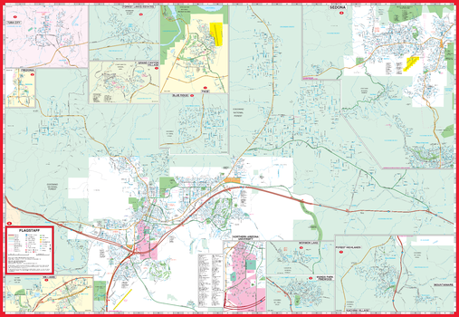
Flagstaff and Vicinity Map

Flagstaff and Vicinity Map

Flagstaff / Sedona / Grand Canyon, Arizona Street Map. Map Coverage Area: Blue Ridge, Forest Lakes Estates, Fredonia, Kachina Village, Mountainaire, Mormon Lake, Munds Park, Pinewood, Page, Tuba City, Williams & Coconino County

Page Size: 39.5 x 27.25 in (1003 x 692 mm)

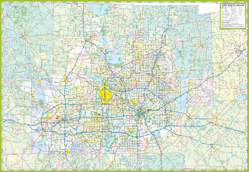
Forth Worth and Vicinity Map

Forth Worth and Vicinity Map

Dallas - Fort Worth & Vicinity, Texas Regional Map. Map Coverage Area: Arlington, Cleburne, Corsicana, Decatur, Denton, Garland, Greenville, Iriving, McKinney, Plano, Waxahachie, & Adjoining Communities.

Page Size: 39.5 x 27.25 in (1003 x 692 mm)

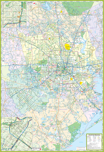
Houston and Vicinity Map

Houston and Vicinity Map

Houston & Vicinity, Texas Regional Map. Map Coverage Area: Baytown, Beumont, Conroe, Galveston, Houston, La Porte, Lake Jackson, League City, Missouri City, Pasadena, Pearland, Sugar Land, Texas City, The Woodlands, & Adjoining Communities. ncluding Enlargements of: Houston Downtown & Post Oaks / Galleria Area

Page Size: 27.25 x 39.5 in (692 x 1003 mm)

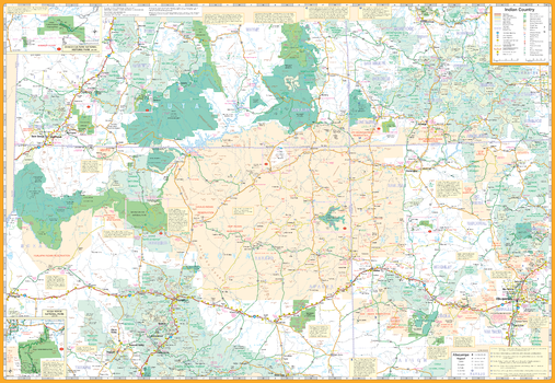
Indian Country Map

Indian Country Map

Indian Country / Four Corners (AZ,CO,NM,UT) Road Map. Map Coverage Area: Chaco Culture & Mesa Verde. Also Includes Descriptive Text of Communities, Points of Interest

Page Size: 39.5 x 27.25 in (1003 x 692 mm)

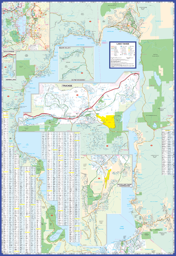
Lake Tahoe Map

Lake Tahoe Map

Lake Tahoe / Truckee, California Street Map. Includes: Tahoe-Carson Area Map,Alpine Meadows, Carnelian Bay, Homewood, Incline Village, Kings Beach, Lahontan, Meyers, Northstar, Rubicon Bay, Serena Lake, Soda Springs, South Lake Tahoe, Squaw Valley, Summitvillage, Tahoe City, Tahoe Village, Tahoma, Truckee & Zephyr Cove. Index of Streets & Selected Points of Interest.

Page Size: 27.25 x 39.5 in (692 x 1003 mm)

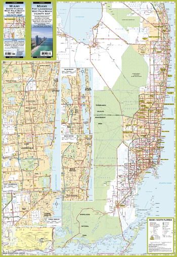
Miami and Vicinity Map

Miami and Vicinity Map

Miami / Fort Lauderdale / West Palm Beach, Florida Regional Map. South Florida (West Palm Beach to Everglades National Park) Vicinity Map. Including Enlargements of: Boca Raton, Coral Gables, Fort Lauderdale, Miami International Airport & Palm Beach.

Page Size: 27.25 x 39.5 in (692 x 1003 mm)

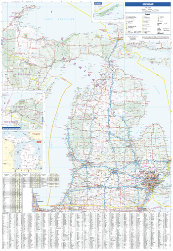
Michigan State Map

Michigan State Map

Michigan State Map. Includes: Driving Distance Map, Recreation Table & Communities Index.

Page Size: 27.25 x 39.5 in (692 x 1003 mm)

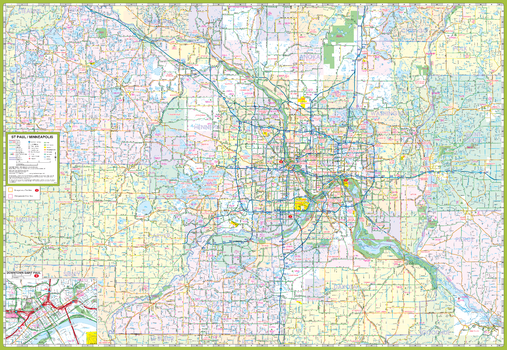
Minneapolis St. Paul and Vicinity Map

Minneapolis St. Paul and Vicinity Map

Minneapolis St Paul & Vicinity, Minnesota Regional Map. Including: Brooklyn Park, Burnsville, Cottage Grove, Eagan, Eden Prairie, Maple Grove, Minnetonka, Plymouth, Red Wing, St. Cloud, Woodbury & Adjoining Communities and Counties. Enlargement of Downtown Saint Paul.

Page Size: 39.5 x 27.25 in (1003 x 692 mm)

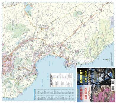
Monterey Bay Area and Vicinity Map

Monterey Bay Area and Vicinity Map

Monterey Peninsula, California Recreation Map. Map from San Jose to Big Sur. Index of Communities

Page Size: 27.75 x 24.75 in (701 x 625 mm)

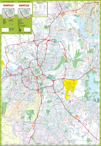
Nashville Street Map

Nashville Street Map

Nashville, Tennessee Street Map. Map Coverage Area: Belle Meade, Berry Hill, Brentwood*, Forest Hills, Goodlettsville*, Hendersonville*, Nashville*, Nolensville*, Oak Hill, Davidson County*, Sumner County*, Williamson County*. *Partial Coverage*.

Page Size: 27.25 x 39.5 in (692 x 1003 mm)

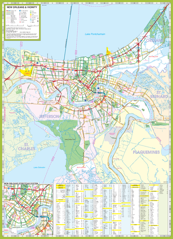
New Orleans and Vicinity Map

New Orleans and Vicinity Map

New Orleans & Vicinity, Louisiana Regional Map. Including:
Laplace, Kenner, Harahan, Westwego, Gretna & Adjoining Communities and Parishes. Enlargement of New Orleans Street Car System. Includes Index of Major Roads, Communities & Selected Points of Interest.

Page Size: 19.75 x 27.25 in (501 x 692 mm)

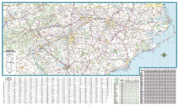
North Carolina State Road Map

North Carolina State Road Map

A Five Star Road Map of North Carolina. Also Includes: Complete Index, Mileage Chart and State Parks Chart.

Page Size: 39 x 23 in (991 x 584 mm)

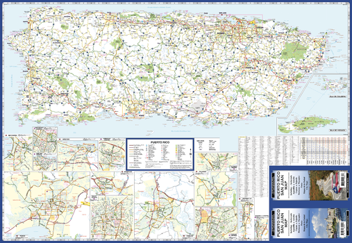
Puerto Rico Road Map

Puerto Rico Road Map

Puerto Rico Road Map. Map Coverage Area: Aquadilla, Arecibo, Caguas, Fajardo, Humacao, Mayagüez, & Ponce. Includes Mileage Chart.

Page Size: 39.5 x 27.25 in (1003 x 692 mm)

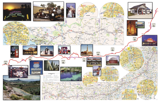
Route 66 Travel Map

Route 66 Travel Map

Route 66 Travel Map. Also Includes History of Route 66

Page Size: 28 x 18 in (711 x 457 mm)

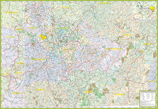
Southwest Pennsylvania Map

Southwest Pennsylvania Map

Pittsburgh & South West Pennsylvania, Pennsylvania Regional Map. Including: Butler, Kittanning, Latrobe, New Castle, Somerset, Steubenville OH, Uniontown, Waynesburg, Weirton WV, Wheeling WV & Adjoining Communities and Townships. Enlargement of Johnstown.

Page Size: 39.5 x 27.25 in (1003 x 692 mm)
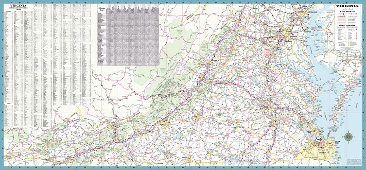
Virginia State Road Map

Virginia State Road Map

A Five Star Road Map of Virginia. Includes: Mileage Chart and Complete Index.

Page Size: 39.25 x 18.25 in (997 x 464 mm)

bottom of page