top of page
County Map of Powys
The Map Centre
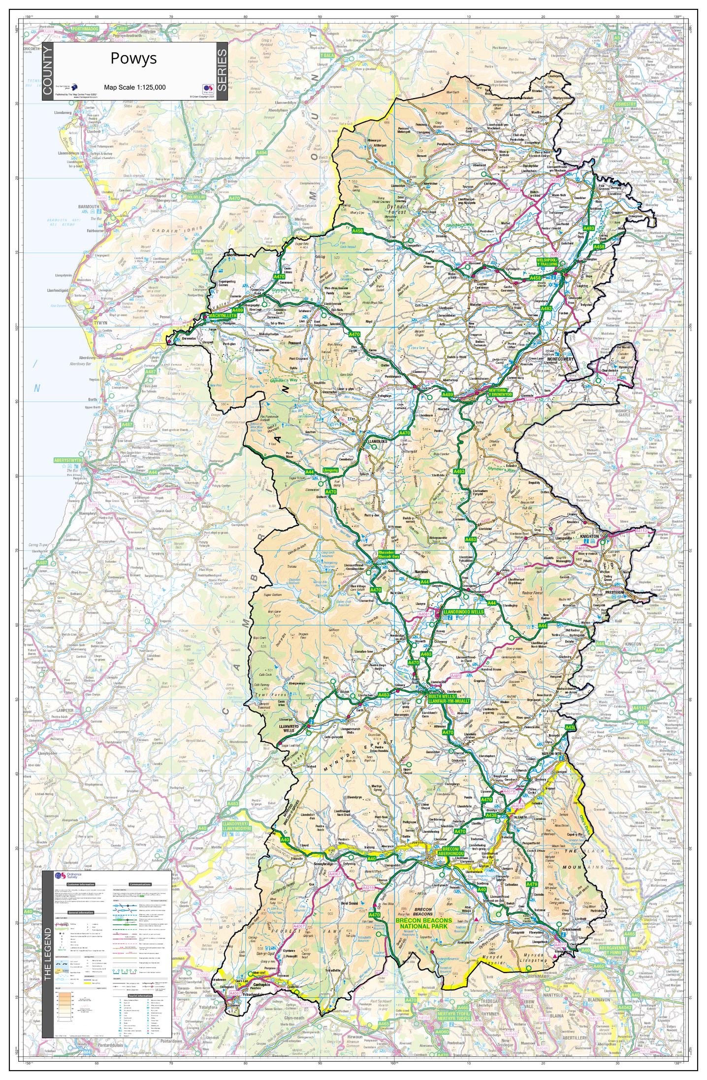
An Ordnance Survey Map covering the whole of the county showing the county boundary including applicable Unitary Authority boundaries. The mapping outside the county boundary is faded to highlight the county. Part of a series of counties maps that cover England Scotland & Wales all using the same background Ordnance Survey Mapping for continuity across the whole series. This map includes Llandrindod Wells, Builth Wells, Rhayder, Welshpool, Brecon
Page Size: 30 x 45.75 in (760 x 1160 mm)
Buy this map on MapTrove.ca
bottom of page