The Times

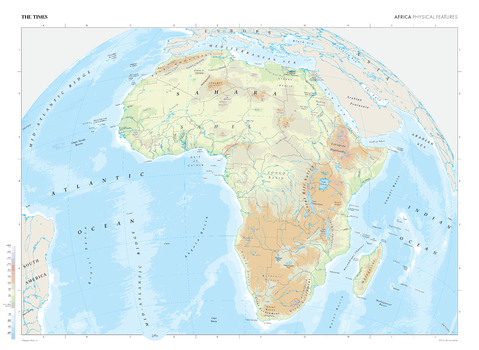
The Times Map of Africa (Physical Features)
This map of Africa's physical features stands as a benchmark of cartographic excellence, sourced from the industry-leading Times Comprehensive Atlas of the World. Published in full colour, this map offers a comprehensive and updated view of the diverse geographical attributes that characterise the African continent. Without any political divisions, this map provides a clear representation of Africa's natural features. With meticulous attention to detail, this map is an indispensable guide to the geographic intricacies and highlights of Africa's physical characteristics.
Page Size: 36.5 x 26.75 in (924 x 675 mm)
The Times Map of Africa (Physical Features) - Compact
This map of Africa's physical features stands as a benchmark of cartographic excellence, sourced from the industry-leading Times Comprehensive Atlas of the World. Published in full colour, this map offers a comprehensive and updated view of the diverse geographical attributes that characterise the African continent. Without any political divisions, this map provides a clear representation of Africa's natural features. With meticulous attention to detail, this map is an indispensable guide to the geographic intricacies and highlights of Africa's physical characteristics.
Page Size: 22.25 x 16.25 in (561 x 410 mm)
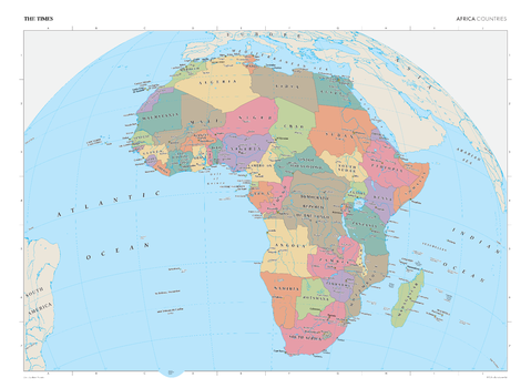
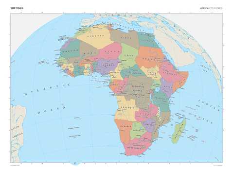
The Times Map of Africa (Political Features)
This map of Africa's political boundaries stands as a benchmark of cartographic excellence, sourced from the industry-leading Times Comprehensive Atlas of the World. Published in full colour, this map offers a comprehensive and updated view of the diverse countries, capitals, cities, and political divisions that characterise the African continent. Encompassing the intricate national borders, capital cities, and key urban centres, this map provides a clear representation of Africa's political landscape. With meticulous attention to detail, this map is an indispensable guide to the highlights of Africa's political composition.
Page Size: 36.5 x 26.75 in (924 x 675 mm)
The Times Map of Africa (Political Features) - Compact
This map of Africa's political boundaries stands as a benchmark of cartographic excellence, sourced from the industry-leading Times Comprehensive Atlas of the World. Published in full colour, this map offers a comprehensive and updated view of the diverse countries, capitals, cities, and political divisions that characterise the African continent. Encompassing the intricate national borders, capital cities, and key urban centres, this map provides a clear representation of Africa's political landscape. With meticulous attention to detail, this map is an indispensable guide to the highlights of Africa's political composition.
Page Size: 22.25 x 16.25 in (561 x 410 mm)
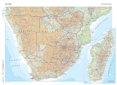
The Times Map of Africa (Southern)
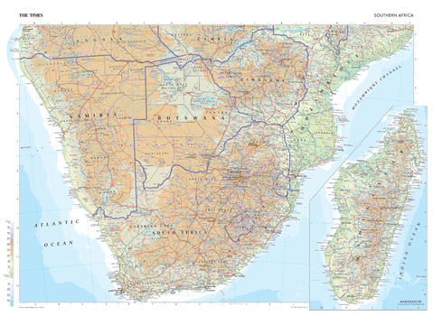
This map of Southern Africa is a benchmark of cartographic excellence, taken from the industry leading Times Comprehensive Atlas of the World. Zimbabwe, Botswana, Mozambique, Swaziland, Namibia, and South Africa are covered in full, with Angola, Zambia, and Malawi partially covered. Capital cities of Windhoek, Harare, Maputo, Cape Town, Gaborone, and Antananarivo are clearly marked, as are geographical features such as the Namib desert. International borders are visibly marked, as are regional and state boundaries within the countries. Inset map provides additional views of Madagascar. Each element is carefully chosen to make the map a coherent and attractive visual guide to Southern Africa.
Page Size: 36.5 x 26.75 in (924 x 675 mm)
The Times Map of Africa (Southern) - Compact
This map of Southern Africa is a benchmark of cartographic excellence, taken from the industry leading Times Comprehensive Atlas of the World. Zimbabwe, Botswana, Mozambique, Swaziland, Namibia, and South Africa are covered in full, with Angola, Zambia, and Malawi partially covered. Capital cities of Windhoek, Harare, Maputo, Cape Town, Gaborone, and Antananarivo are clearly marked, as are geographical features such as the Namib desert. International borders are visibly marked, as are regional and state boundaries within the countries. Inset map provides additional views of Madagascar. Each element is carefully chosen to make the map a coherent and attractive visual guide to Southern Africa.
Page Size: 22.25 x 16.25 in (561 x 410 mm)
The Times Map of Alaska (United States) and Yukon (Canada)
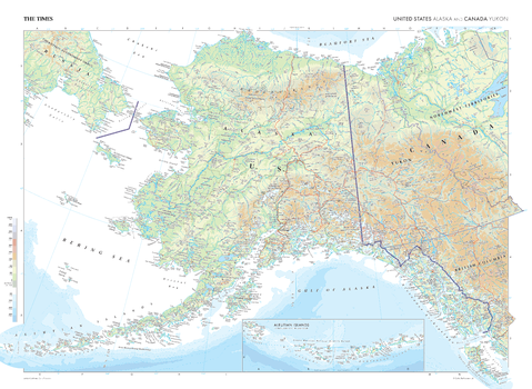
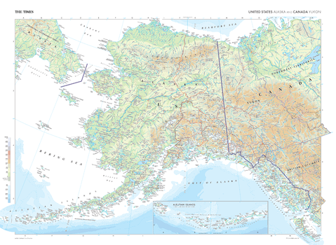
This map of Alaska and Yukon stands as a benchmark of cartographic excellence, sourced from the industry-leading Times Comprehensive Atlas of the World. Published in full colour, this map offers a comprehensive and updated view of the landscapes that are found in this northern region. Prominent features such as the Mackenzie Mountain Range, Great Bear Lake and the Aleutian Islands are clearly identifiable, as are the international borders between the US, Canada and Russia. With meticulous attention to detail, this map is an indispensable guide to the geographic intricacies of Alaska and Yukon.
Page Size: 36.5 x 26.75 in (924 x 675 mm)
The Times Map of Alaska (United States) and Yukon (Canada) - Compact
This map of Alaska and Yukon stands as a benchmark of cartographic excellence, sourced from the industry-leading Times Comprehensive Atlas of the World. Published in full colour, this map offers a comprehensive and updated view of the landscapes that are found in this northern region. Prominent features such as the Mackenzie Mountain Range, Great Bear Lake and the Aleutian Islands are clearly identifiable, as are the international borders between the US, Canada and Russia. With meticulous attention to detail, this map is an indispensable guide to the geographic intricacies of Alaska and Yukon.
Page Size: 22.25 x 16.25 in (561 x 410 mm)
The Times Map of Antarctica
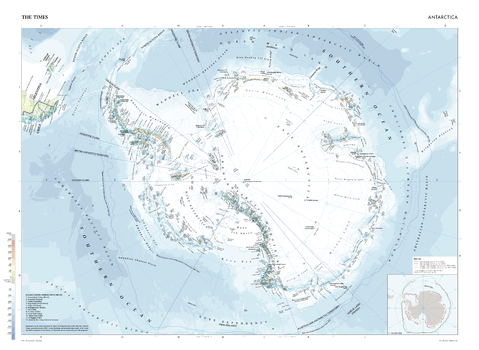
This map of Antarctica is a benchmark of cartographic excellence, taken from the industry leading Times Comprehensive Atlas of the World. There is a high level of detail packed into the map, yet the positioning of every element is carefully chosen to make the map coherent and attractive. The sea level and water depth are shown in simple, intuitive colours that make it easy to understand the data being presented. The inset map shows the Antarctic Circle overlayed with the movement of the sea ice edge from 1981 to 2023. Additional detailing reveals locations of identified ice shelves and mountain ranges, including the Transantarctic Mountains.
Page Size: 36.5 x 26.75 in (924 x 675 mm)
The Times Map of Antarctica - Compact
This map of Antarctica is a benchmark of cartographic excellence, taken from the industry leading Times Comprehensive Atlas of the World. There is a high level of detail packed into the map, yet the positioning of every element is carefully chosen to make the map coherent and attractive. The sea level and water depth are shown in simple, intuitive colours that make it easy to understand the data being presented. The inset map shows the Antarctic Circle overlayed with the movement of the sea ice edge from 1981 to 2023. Additional detailing reveals locations of identified ice shelves and mountain ranges, including the Transantarctic Mountains.
Page Size: 22.25 x 16.25 in (561 x 410 mm)
The Times Map of Arctic Ocean
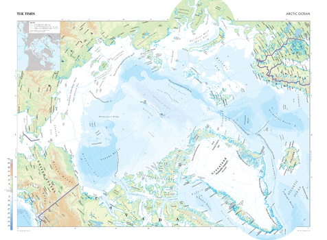
This map of The Arctic Ocean is a benchmark of cartographic excellence, taken from the industry leading Times Comprehensive Atlas of the World. There is a high level of detail packed into the map, yet the positioning of every element is carefully chosen to make the map coherent and attractive. The sea level and water depth are shown in simple, intuitive colours that make it easy to understand the data being presented. The inset map shows the Arctic Circle overlayed with the movement of the sea ice edge from 1981 to 2023. This map also provides detailed images of the Elizabeth Islands of Northern Canada, Alaska, Northern Russia, Greenland and Iceland.
Page Size: 36.25 x 26.75 in (919 x 675 mm)
The Times Map of Arctic Ocean - Compact
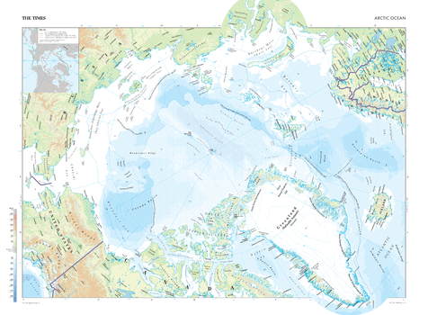
This map of The Arctic Ocean is a benchmark of cartographic excellence, taken from the industry leading Times Comprehensive Atlas of the World. There is a high level of detail packed into the map, yet the positioning of every element is carefully chosen to make the map coherent and attractive. The sea level and water depth are shown in simple, intuitive colours that make it easy to understand the data being presented. The inset map shows the Arctic Circle overlayed with the movement of the sea ice edge from 1981 to 2023. This map also provides detailed images of the Elizabeth Islands of Northern Canada, Alaska, Northern Russia, Greenland and Iceland.
Page Size: 22 x 16.25 in (558 x 410 mm)
The Times Map of Asia (Northeast)
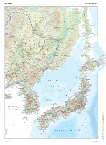
This map of Northeast Asia is a benchmark of cartographic excellence, taken from the industry leading Times Comprehensive Atlas of the World. With its full colour presentation, this thoroughly updated map provides an encompassing view of the Northeast Asian region. With full coverage of Japan, South Korea, and North Korea, and additional mapping covering east China and Russia, this map offers a clear representation of this region of the world. Key urban centres such as Beijing, Tokyo, Seoul, and Pyongyang, are all clearly identifiable, contributing to the intricate landscape of Northeast Asia. Carefully curated to ensure both coherence and attractiveness, every element of this map contributes to its role as an essential guide to the geography of Northeast Asia.
Page Size: 26.75 x 36.5 in (675 x 924 mm)
The Times Map of Asia (Northeast) - Compact
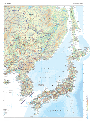
This map of Northeast Asia is a benchmark of cartographic excellence, taken from the industry leading Times Comprehensive Atlas of the World. With its full colour presentation, this thoroughly updated map provides an encompassing view of the Northeast Asian region. With full coverage of Japan, South Korea, and North Korea, and additional mapping covering east China and Russia, this map offers a clear representation of this region of the world. Key urban centres such as Beijing, Tokyo, Seoul, and Pyongyang, are all clearly identifiable, contributing to the intricate landscape of Northeast Asia. Carefully curated to ensure both coherence and attractiveness, every element of this map contributes to its role as an essential guide to the geography of Northeast Asia.
Page Size: 16.25 x 22.25 in (410 x 561 mm)
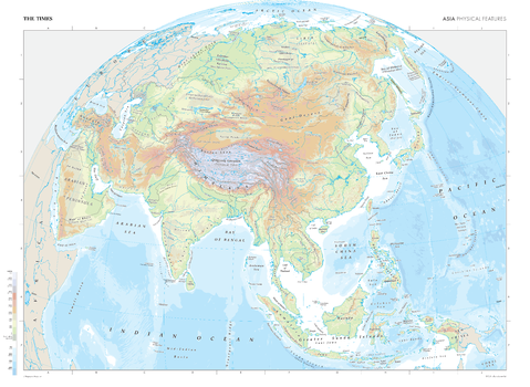
The Times Map of Asia (Physical Features)
This map of Asia's physical features is taken from the industry-leading Times Comprehensive Atlas of the World and is a benchmark of cartographic excellence. Detailing geographical features, such as rivers, mountain ranges, and deserts, this is a comprehensive and visually attractive map of Asia. Features include: the Gobi Desert, Qingzang Gaoyuan (Plateau of Tibet), and the Caspian Sea. Each element of the map has been thoughtfully selected to province a clear and engaging visual guide to the physical features of Asia.
Page Size: 36.5 x 26.75 in (924 x 675 mm)
The Times Map of Asia (Physical Features) - Compact
This map of Asia's physical features is taken from the industry-leading Times Comprehensive Atlas of the World and is a benchmark of cartographic excellence. Detailing geographical features, such as rivers, mountain ranges, and deserts, this is a comprehensive and visually attractive map of Asia. Features include: the Gobi Desert, Qingzang Gaoyuan (Plateau of Tibet), and the Caspian Sea. Each element of the map has been thoughtfully selected to province a clear and engaging visual guide to the physical features of Asia.
Page Size: 22.25 x 16.25 in (561 x 410 mm)
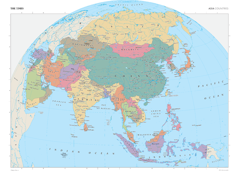
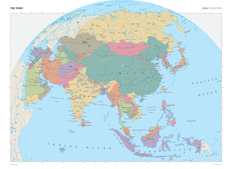
The Times Map of Asia (Political Features)
This map of Asia's political features is taken from the industry-leading Times Comprehensive Atlas of the World and is a benchmark of cartographic excellence. Clearly identifying each country and marking them in contrasting colours, this map is readily accessible to the general reader who needs an up-to-date map of Asia. Countries identified include: China, Mongolia, Russia, India, Indonesia, and Japan. Each element of the map has been thoughtfully selected to province a clear and engaging visual guide to the political features of Asia.
Page Size: 36.5 x 26.75 in (924 x 675 mm)
The Times Map of Asia (Political Features) - Compact
This map of Asia's political features is taken from the industry-leading Times Comprehensive Atlas of the World and is a benchmark of cartographic excellence. Clearly identifying each country and marking them in contrasting colours, this map is readily accessible to the general reader who needs an up-to-date map of Asia. Countries identified include: China, Mongolia, Russia, India, Indonesia, and Japan. Each element of the map has been thoughtfully selected to province a clear and engaging visual guide to the political features of Asia.
Page Size: 22.25 x 16.25 in (561 x 410 mm)
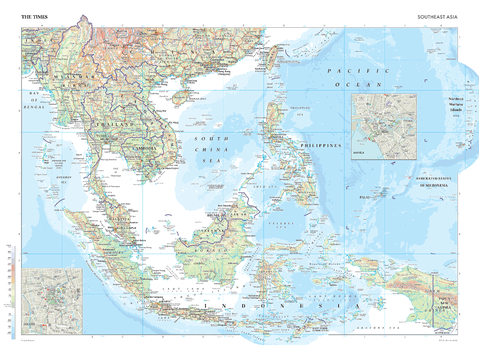
The Times Map of Asia (Southeast)
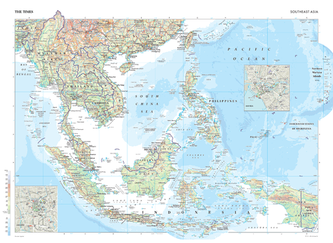
This map of Southeast Asia stands as a benchmark of cartographic excellence, sourced from the industry-leading Times Comprehensive Atlas of the World. Presented in full colour, this thoroughly updated map provides full coverage of countries such as Thailand, Vietnam, Malaysia, and Indonesia, as well as the Pacific Ocean islands. Major cities, including Bangkok, Jakarta, Ho Chi Minh City, and Hanoi are clearly identifiable, as are geographical features such as rivers, mountains, and oceans. An insightful addition to the map are the inset city maps of Manila and Jakarta. Carefully selected to ensure coherence and attractiveness, each element of this map works to serve as an invaluable guide to the geographical of Southeast Asia.
Page Size: 36.5 x 26.75 in (924 x 675 mm)
The Times Map of Asia (Southeast) - Compact
This map of Southeast Asia stands as a benchmark of cartographic excellence, sourced from the industry-leading Times Comprehensive Atlas of the World. Presented in full colour, this thoroughly updated map provides full coverage of countries such as Thailand, Vietnam, Malaysia, and Indonesia, as well as the Pacific Ocean islands. Major cities, including Bangkok, Jakarta, Ho Chi Minh City, and Hanoi are clearly identifiable, as are geographical features such as rivers, mountains, and oceans. An insightful addition to the map are the inset city maps of Manila and Jakarta. Carefully selected to ensure coherence and attractiveness, each element of this map works to serve as an invaluable guide to the geographical of Southeast Asia.
Page Size: 22.25 x 16.25 in (561 x 410 mm)
