A-Z Maps

A-Z Sheffield Street Map
A-Z Street Map of Sheffield. This map covers Aston, Attercliffe, Beighton, Brinsworth, Grenoside, Hackenthorpe, Killamarsh, Kimberworth, Moorgate, Mosborough, Oughtibridge, Owlerton, Parson Cross, Rotherham, Sheffield, Stannington, Swallownest, Tapton Hill, Templeborough, Walkley, Whiston, Wickersley, Wincobank
Page Size: 47 x 36.25 in (1189 x 915 mm)
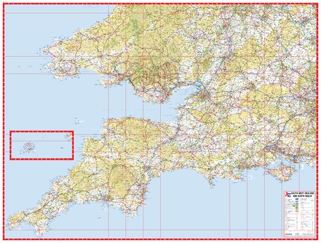
A-Z South East and Central England Road Map
This A-Z Map of South East & Central England is a full colour, single-sided road map featuring continuous mapping from Nottingham to the south coast, including the Isle of Wight, and from Cardiff to the east coast.
Page Size: 45.75 x 35.75 in (1157 x 907 mm)
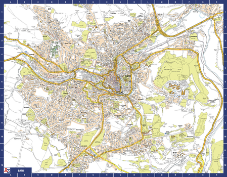
Bath A-Z Street Map
The perfect reference map for finding your way around Bath. This up-to-date detailed A-Z town plan includes more than 1,700 streets in and around Bath. Extensive mapping covers an area from Charlcombe in the north to Combe Down in the south, and from Bathampton Down in the east to Whiteway in the west. The highly detailed 1 mile to 4.5 inch street map includes places of interest, among other features.
Page Size: 28.5 x 22.25 in (718 x 560 mm)
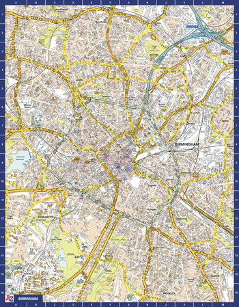
Birmingham A-Z Street Map
The perfect reference map for finding your way around Birmingham. This up-to-date detailed A-Z town plan includes more than 3,000 streets in and around Birmingham. As well as the city centre and St Philip’s Cathedral, the other areas covered include Moseley, Edgbaston, Small Heath, the Jewellery Quarter, Winson Green, Gib Heath, Lozells, Saltley and Aston. The highly detailed 1 mile to 5.5 inch street map includes places of interest, among other features.
Page Size: 22.25 x 28.5 in (560 x 718 mm)
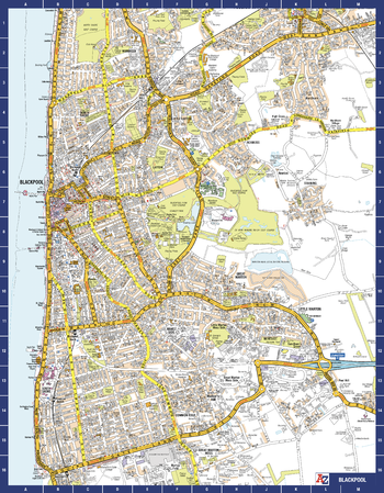
Blackpool A-Z Street Map
The perfect reference map for finding your way around Blackpool. This detailed A-Z town plan includes all of the 2,100 streets in and around Blackpool. As well as the Promenade this handy map covers Great Marton Moss, Common Edge, Pleasure Beach, Hawes Side, Staining, Laytoun, North Shore and Warbreck. The large scale 1 mile to 5.5 inch street map includes the following:
• Places of interest
• Blackpool tramway stops and route (Cavendish Road to Starr Gate)
Page Size: 22.25 x 28.5 in (560 x 718 mm)
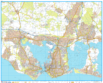
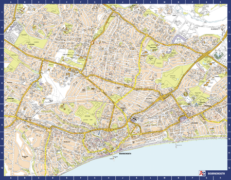
Bournemouth A-Z Street Map
The perfect reference map for finding your way around Bournemouth. This up-to-date detailed A-Z town plan includes more than 2,000 streets in and around Bournemouth. As well as Bournemouth and Boscombe piers, other areas covered are Westbourne, Talbot Village, Charminster and Pokesdown. The highly detailed 1 mile to 5.5 inch street map includes places of interest, among other features.
Page Size: 28.5 x 22.25 in (718 x 560 mm)
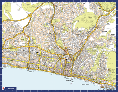
Brighton A-Z Street Map
The perfect reference map for finding your way around Brighton. This up-to-date detailed A-Z town plan includes 2,600 streets in and around Brighton. As well as the sea front and Brighton Palace Pier, the other areas covered are The Lanes, Preston Park, the Artists’ Quarter, Hanover and Seven Dials. The large scale 1 mile to 5.5 inch street map includes places of interest, among other features.
Page Size: 28.5 x 22.25 in (718 x 560 mm)
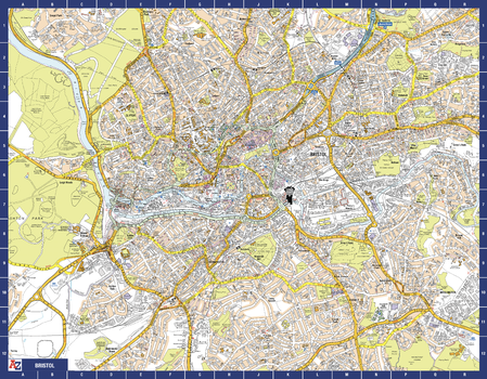
Bristol A-Z Street Map
The perfect reference map for finding your way around Bristol. This up-to-date detailed A-Z town plan includes more than 3,700 streets in and around Bristol. Detailed coverage of an area extending from Bishopston in the north to Knowle Golf Course in the south, and from Crew’s Hole in the east to Leigh Woods in the west. The highly detailed 1 mile to 4.5 inch street map includes places of interest, among other features.
Page Size: 28.5 x 22.25 in (718 x 560 mm)
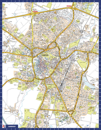
Cambridge A-Z Street Map
The perfect reference map for finding your way around Cambridge. This up-to-date detailed A-Z town plan includes more than 1,000 streets in and around Cambridge. As well as the University of Cambridge and Cambridge city centre, other areas covered are Newnham, Barnwell, Cherry Hinton, Chesterton and Cambridge North. The highly detailed 1 mile to 5.5 inch street map includes places of interest, among other features.
Page Size: 22.25 x 28.5 in (560 x 718 mm)
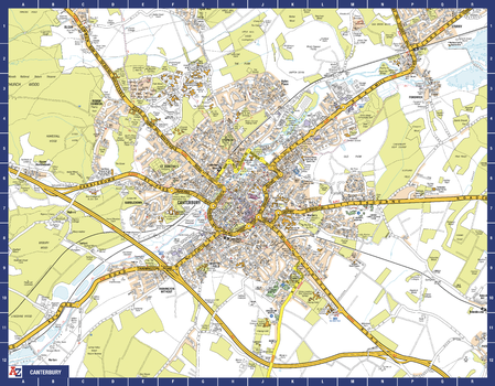
Canterbury A-Z Street Map
The perfect reference map for finding your way around Canterbury. This up-to-date detailed A-Z town plan includes more than 1,000 streets in and around Canterbury. As well as the Canterbury Cathedral and Canterbury city centre, other areas covered are Blean Woods National Nature Reserve, Chartham, Harbledown, Rough Common, University of Kent and Fordwich. The highly detailed 1 mile to 5.5 inch street map includes places of interest, among other features.
Page Size: 28.5 x 22.25 in (718 x 560 mm)
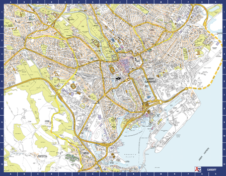
Cardiff A-Z Street Map
The perfect reference map for finding your way around Cardiff. This up-to-date detailed A-Z town plan indexes 2,025 streets in and around Cardiff. As well as Cardiff Bay, the other areas covered are Cathays, Roath, Bute Park, and Riverside. The highly detailed 1 mile to 5.5 inch street map includes places of interest, among other features.
Page Size: 28.5 x 22.25 in (718 x 560 mm)
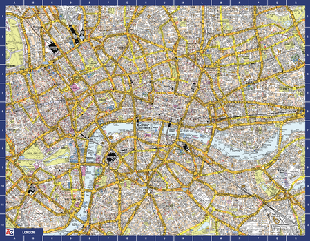
Central London A-Z Street Map
Navigate your way around central London with this detailed, easy-to-use, and up-to-date A-Z Map. A full-colour, single sided, street map. Extending to Islington to the north, Mile End to the east, Kennington to the south, and Mayfair to the west. This iconic highly detailed A-Z map is a trusted means of finding your way around the capital city.
Page Size: 28.5 x 22.25 in (718 x 560 mm)
Cheltenham A-Z Street Map
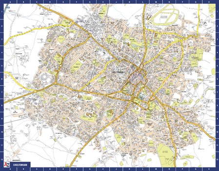
The perfect reference map for finding your way around Cheltenham. This up-to-date detailed A-Z town plan includes more than 2,000 streets in and around Cheltenham.
As well as the Cheltenham Racecourse, the other areas covered include Badgeworth, The Reddings, Up Hatherley, Charlton Kings, Montpellier, Battledown, Hayden, Swindon and Prestbury. The highly detailed 1 mile to 5.5 inch street map includes places of interest, among other features.
Page Size: 28.5 x 22.25 in (718 x 560 mm)
Chichester A-Z Street Map
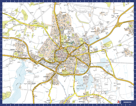
The perfect reference map for finding your way around Chichester. This up-to-date detailed A-Z town plan indexes 780 streets in and around Chichester. As well as the harbour, the other areas covered are Fishbourne, Stockbridge, Whyke and Portfield. The highly detailed 1 mile to 5.5 inch street map includes places of interest, among other features.
Page Size: 28.5 x 22.25 in (718 x 560 mm)
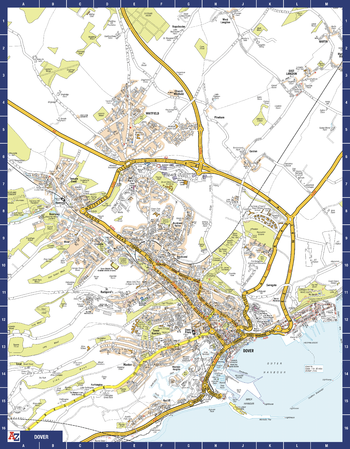
Dover A-Z Street Map
The perfect reference map for finding your way around Dover. This up-to-date detailed A-Z town plan includes more than 800 streets in and around Dover. Detailed coverage of an area extending from Napchester in the north to the harbour in the south, and from beyond Jubilee Way to the east and Kearsney in the west. The highly detailed 1 mile to 4.5 inch street map includes places of interest, among other features.
Page Size: 22.25 x 28.5 in (560 x 718 mm)


