top of page
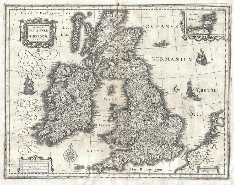
Blaeu Map of the British Isles (1631)
Artokoloro
1631 map of England, Scotland and Ireland by Dutch catrographer Willem Janszoon Blaeu. Full title: Magnae Britanniae et Hiberniae Tabula.
Page Size: 18.75 x 14.75 in (472 x 374 mm)
Buy this map on MapTrove.ca or MapTrove.com

bottom of page