top of page
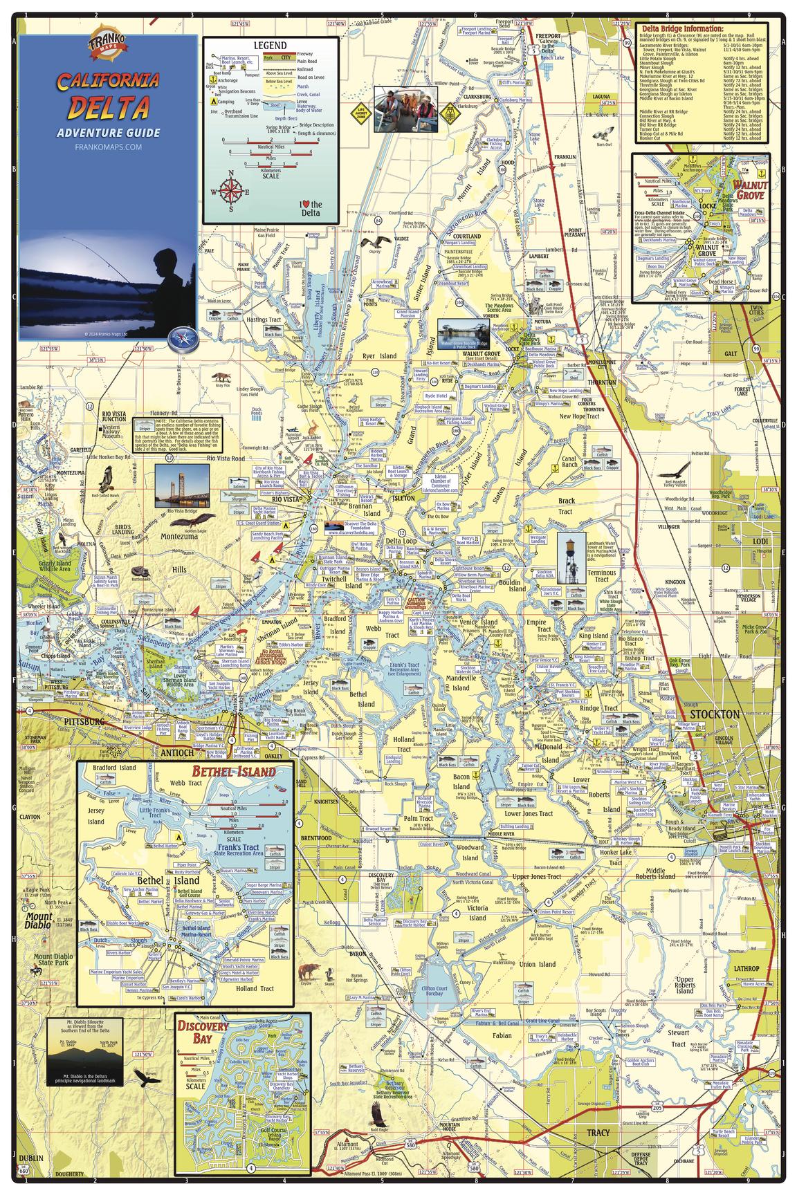
California Delta Waterways Wall Map
Franko Maps
Detailed waterways map of the San Joaquin and Sacramento Rivers. Shows the area from Sacramento on the north to Tracy on the south, and from Stockton on the east to Pittsburg on the west. Insets of Walnut Grove, Bethel Island and Discovery Bay.
Page Size: 24 x 36 in (610 x 914 mm)
Buy this map on MapTrove.ca

bottom of page