top of page
Santa Catalina Island, California Wall Map
Franko Maps
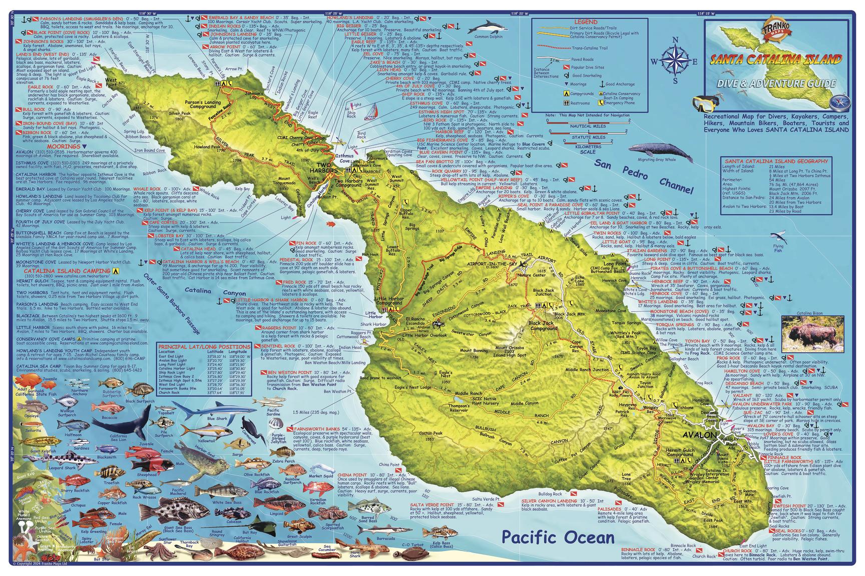
A shaded relief topographic map of this recreational destination. Shows dirt roads, dive sites, snorkel sites, moorings, campground, anchorages, the Trans-Catalina Trail and more. Locations, names and descriptions of diving and snorkeling sites. Colorful illustrations of fish and other creatures found in the Catalina waters.
Page Size: 36 x 24 in (914 x 610 mm)
Buy this map on MapTrove.ca

bottom of page