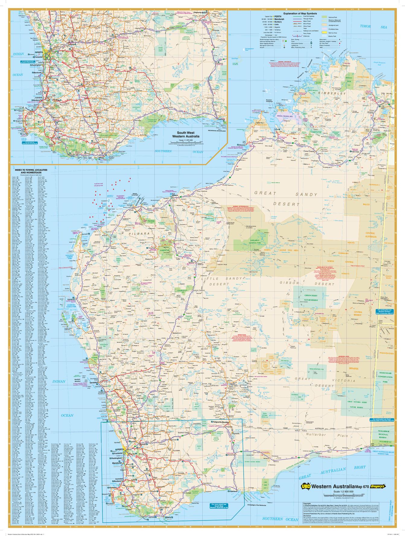
Western Australia State Wall Map
Hardie Grant
Western Australia state map coverage including an inset with coverage of south west Western Australia at a scale of 1: 1 870 000 covering Lancelin & Kalgoorlie-Boulder in the north , Albany in the south & Norseman & Esperance in the east. This map clearly shows dual carriageways, national highways, and other roads, distances between towns, route numbers, towns with an indication of the size of each town and also comprehensive listing of towns, localities & homesteads. Also included are Visitor Information Centres, Deserts, Reserves, National & Marine Parks . This is an easy to read map that will help you find your way around Western Australia with ease and is ideal for both travel & business. Maps are also available for other Australian states & territories for a comprehensive coverage of Australia.
Page Size: 27.25 x 36.25 in (690 x 920 mm)
Buy this map on MapTrove.ca
