Maps International

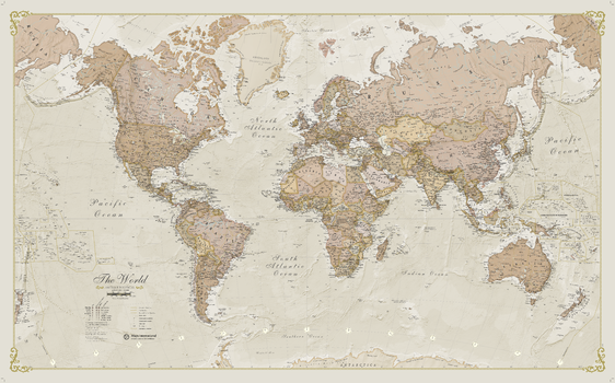
Antique World Map
A popular antique world map with its artistic antique-style muted tones; it looks simply stunning and rather elegant. Splendid wall map art of the world in vintage style. Complete with political detail (countries shaded in different tones), country boundaries and cities shown.
Page Size: 53.75 x 33.25 in (1364 x 844 mm)
Asia Physical
This physical map of Asia features the natural terrain of the land, with countries clearly marked and international borders shown. The map's key helps to identify the land elevation and water depth. This Asia physical map also contains city population detail, capital cities and all the major towns and cities in this continent of Asia.
Australasia Physical
This physical map of Australasia features the natural terrain of the land, with countries clearly marked and international borders shown. The map's key helps to identify the land elevation and water depth. This physical map of Australasia also contains city population detail, capital cities and all the major towns and cities in this continent of Australasia.
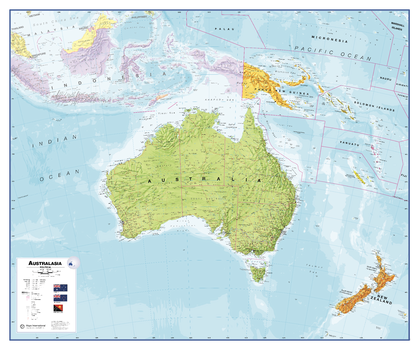
Australasia Political Wall Map
This political map of Australasia features countries marked in different colours, with international borders clearly shown. This political map of Australasia also contains city population detail, capital cities and all the major towns and cities in this continent.
Page Size: 47.5 x 39.75 in (1202 x 1008 mm)
British Isles Administrative Map
Administrative map from Maps International's British Isles map range. Administrative map details: Shows counties and unitary authorities in different colours. Boroughs and districts are also shown on this map as well as towns and cities. Contains a small British Isles postcode areas map as well as population details.
Page Size: 33.25 x 47 in (841 x 1189 mm)
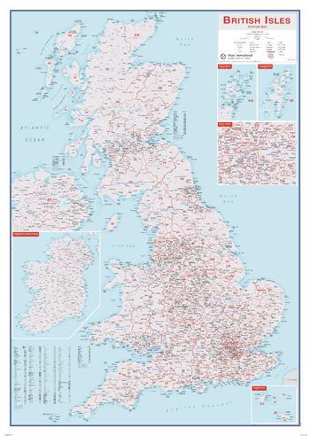
British Isles Postcode Map
This British Isles Postcode map contains information including borough, county and district names. Cities are marked on showing the approximate population size. Postcode areas of the British Isles are clearly shown and the Greater London area is expanded to show these postcode areas clearly. British Isles postcodes are needed on a day-to-day basis and this map makes a great reference tool. This map shows each postcode area clearly - e.g. CV, NW, B. This British Isles postcode map is easy to display in offices or post rooms.
Page Size: 33.25 x 47 in (841 x 1189 mm)
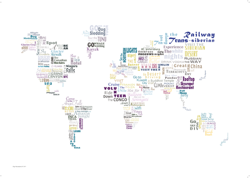
Bucket List Map
This Bucket List is a typographic print of over 100 things you can do around the world, a great gift for an enthusiastic traveller or couple who dream sharing of adventures around the world. This print will look great in your home, inspiring your wanderlust when planning your next big adventure.
ISBN 9781910378267
Page Size: 33.25 x 23.5 in (841 x 594 mm)
Classic World Map
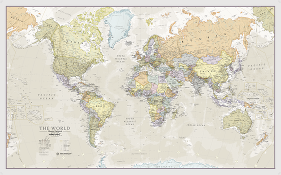
A popular classic world map with its artistic classic-style muted tones; it looks simply stunning and rather elegant. Splendid wall map art of the world in vintage style. Complete with political detail (countries shaded in different tones), country boundaries and cities shown.
Page Size: 53.75 x 33.25 in (1364 x 844 mm)
Classic World Map
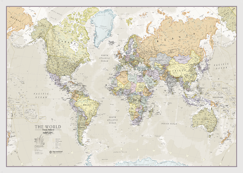
This popular world classic map looks stunning and elegant with its artistic, classic-style muted tones.
Map details: Beautiful world wall map art in vintage style. Complete with political details (countries shaded in different tones), international borders and cities.
Map uses: This vintage world map is perfect for giving your home or office an exclusive feel. The vintage world map wall art also adds a touch of luxury to the home, making it ideal for more discerning customers.
Page Size: 47 x 33.25 in (1189 x 841 mm)
Classic World Map
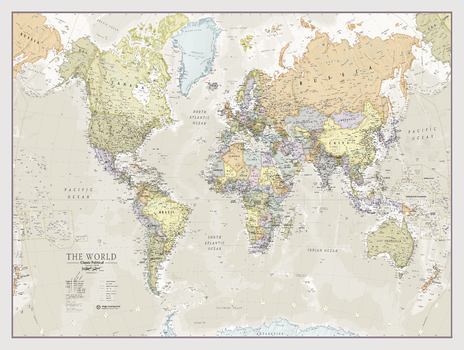
This popular world classic map looks stunning and elegant with its artistic, classic-style muted tones.
Map details: Beautiful world wall map art in vintage style. Complete with political details (countries shaded in different tones), international borders and cities.
Map uses: This vintage world map is perfect for giving your home or office an exclusive feel. The vintage world map wall art also adds a touch of luxury to the home, making it ideal for more discerning customers.
Page Size: 48 x 36 in (1219 x 914 mm)
Environmental World Wall Map
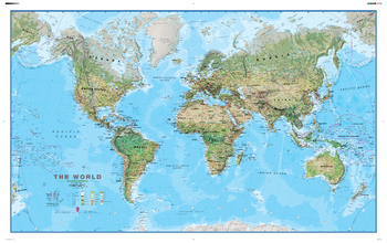
Maps International's world environmental wall map is a high quality map which is a fantastic representation of the world's environmental terrain and the different environmental categories - tundra, forests, deserts etc. Country borders and major cities are shown. The map's key helps to identify the different land terrain.
Page Size: 53.75 x 33.25 in (1364 x 844 mm)
Europe Physical
Our physical Europe map features the natural terrain of the land, with countries marked and borders shown. The map's key helps to identify the land elevation and water depth. This huge Europe physical map also contains city population detail, national capitals and major towns and cities.
Europe Political
Our politically coloured map of Europe features countries marked in different colours, with international boundaries shown. All major towns and cities of Europe are featured within our huge map, and the countries capital cities are clearly marked. The map contains hill and sea shading adding to the vibrant overall effect.
