top of page
Canada Political Wall Map
Maps International
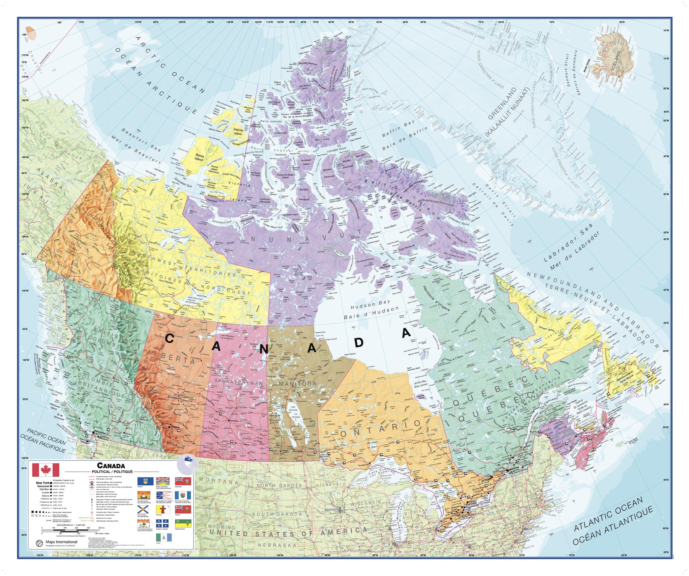
This Canada wall map clearly depicts all the cities, major roads and also shows all the Provinces and Territory boundaries. All major cities and areas are displayed bi-lingually.
Page Size: 47.25 x 39.5 in (1200 x 1000 mm)
Buy this map on MapTrove.ca or MapTrove.com
bottom of page