Maps International

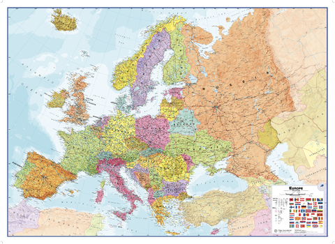
Europe Political
Our politically coloured wall map of Europe features countries marked in different colours, with international boundaries shown. All major towns and cities of Europe are featured within our map, and the countries capital cities are clearly marked. The map contains hill and sea shading adding to the vibrant overall effect. The wall map also contains a section showing the different flags of countries in Europe.
Page Size: 53.5 x 39 in (1357 x 985 mm)
Europe Political Wallpaper
This politically coloured map of Europe features countries marked in different colours, with international boundaries shown. All major towns and cities of Europe are featured, and the countries capital cities are clearly marked. The map contains hill and sea shading adding to the vibrant overall effect.
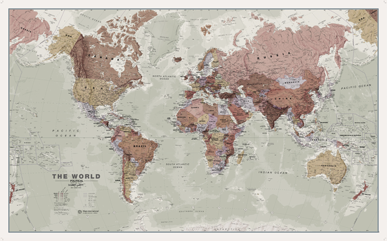
Executive World Wall Map
A popular executive world wall map. With its artistic antique-style muted tones, it looks simply stunning and rather elegant. Map Detail: This executive world wall map is complete with political detail (countries shaded in different tones), country boundaries and cities shown.
Page Size: 53.75 x 33.25 in (1360 x 840 mm)
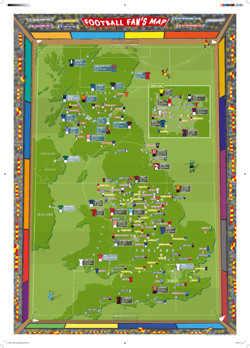
Football Fan's Stadium Map
Our Football Fan's Stadium Map Poster is the perfect gift for football fans. Fully updated for the 2016/17 season. Shows the location of stadiums of all the Premier League, Championship, League One and Two clubs plus the Scottish Premiership and Championship stadiums. UK national stadiums are also shown such as Wembley and Hampden Park. Its bright colours look great in children's bedrooms, playrooms and in classrooms. Title will read 'FOOTBALL FAN'S MAP' with red title banner. Scarves are red and yellow.
Page Size: 23.5 x 33.25 in (594 x 841 mm)
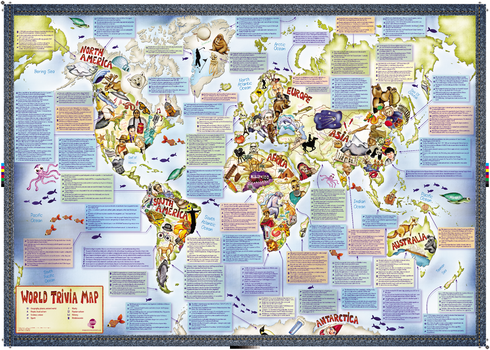
Illustrated Trivia World Map
This is a fun illustrated world map with some added fascinating facts. Did you know... "Every year the Netherlands sends 20,000 tulip bulbs to Canada to thank them for their help in World War II". This uniquely illustrated world map is packed with awesome things to learn about the world we live in.
Page Size: 33.25 x 23.5 in (841 x 594 mm)
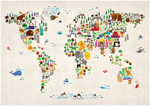
Kids Animal Map of the World
Colourful and vibrant map of the world made from animals. Look closely and you will see the animals are shown in their home continents. Can you spot the African Lion or the Chinese Panda? This Children's Animal Map of the World will look great on your child's bedroom or nursery wall and is a fun way to help younger children learn about the world.
Page Size: 33.25 x 23.5 in (841 x 594 mm)
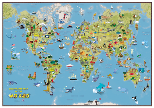
Kids Cartoon Map of the World
This is a fantastic fun Children's Illustrated Map of the World perfect for Children aged 5 upwards. The detailed illustrations show people and local culture, animals and marine life, famous natural features and manmade landmarks plus a range of other fun illustrations. Find the Polar Bears playing catch or the Aborigines dancing to the didgeridoo, plus learn where the Victoria Falls or Mount Everest are in the world. The World Map itself show the Continents, Sea and Ocean names and also shows hill and sea shading.
Page Size: 33.25 x 23.5 in (841 x 594 mm)
