top of page
Illinois State Wall Map - Poster
MapSherpa
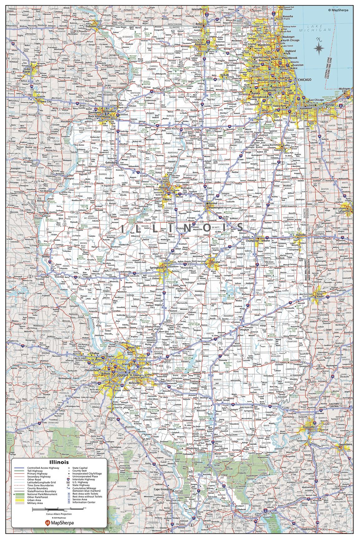
This detailed wall map of Illinois is perfect for both educational and business purposes. The easy-to-read map features vibrant colors and clear labeling of cities, counties, highways, and geographical features. All national and state highways that connect the state are all clearly labelled on the map, while the legend notes the different road and land use classifications such as urban, park, military, and many more. The boundaries of each county in the state are defined and named clearly. Whether you are a student, teacher, business person or geography enthusiast, this map is a valuable addition to any space.
Page Size: 24 x 36 in (610 x 914 mm)
Buy this map on MapTrove.ca
bottom of page