top of page
Anchor 1

Natural Resources Canada

empty-logo.png
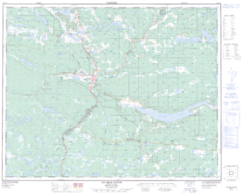
100 Mile House - 92 P/11 - British Columbia

100 Mile House - 92 P/11 - British Columbia

Canadian topographic map of 100 Mile House, British Columbia. NTS sheet 092P11 Edition 2.

Page Size: 31.5 x 25.5 in (800 x 643 mm)

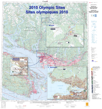
2010 Olympic sites / Sites olympiques 2010

2010 Olympic sites / Sites olympiques 2010

Contained within the Atlas of Canada Poster Map Series, is a large-format Olympics Sites wall map (42 inches by 45 inches) featuring a 1:250 000 scale topographic base map extending from the southern tip of Vancouver Island north to Pemberton and east to Abbotsford, British Columbia. It contains inset maps, at 1:50 000 scale of Vancouver and Whistler, from the new CanTopo map series to show these areas in greater detail. Additional thematic information has been added to these insets to highlight the location of the Olympics and Paralympics sites (for example ski runs, athletes' village, hockey arena).

Page Size: 41.5 x 44.5 in (1049 x 1125 mm)

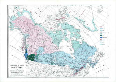
Aborigines of Canada, Alaska and Greenland (1906)

Aborigines of Canada, Alaska and Greenland (1906)

Contained within the 1st Edition (1906) of the Atlas of Canada is a map that shows the distribution of 11 aboriginal groups of Canada, Alaska and Greenland. The areas shown in different colours represent occupied land by the native linguistic families, including uninhabited large areas in the Arctic islands and Greenland. The southern portion of Canada, the Indians are living on reserves. The other points indicated are small reminants of the once powerful Huron-Iroquois at Jeune Lorette, two small bands of Iroquois near Edmonton and on the head waters of the Athabaska river. There are a greater number of linguistic families on the Pacific coast of British Columbia than in all the rest of Canada.

Page Size: 24.25 x 17.25 in (613 x 433 mm)

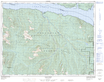
Adam River - 92 L/8 - British Columbia

Adam River - 92 L/8 - British Columbia

Canadian topographic map of Adam River, British Columbia. NTS sheet 092L08 Edition 3.

Page Size: 32 x 25.25 in (812 x 641 mm)

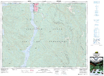
Alberni Inlet - 92 F/2 - British Columbia

Alberni Inlet - 92 F/2 - British Columbia

Canadian topographic map of Alberni Inlet, British Columbia. NTS sheet 092F02 Edition 6.

Page Size: 35.75 x 26.25 in (908 x 662 mm)

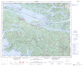
Alert Bay - 92 L - British Columbia

Alert Bay - 92 L - British Columbia

Canadian topographic map of Alert Bay, British Columbia. NTS sheet 092L Edition 3.

Page Size: 28 x 22 in (711 x 557 mm)

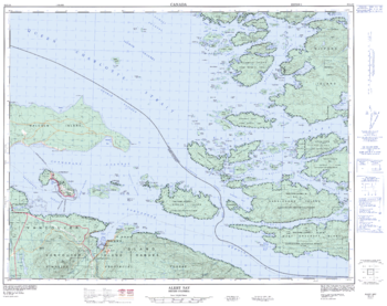
Alert Bay - 92 L/10 - British Columbia

Alert Bay - 92 L/10 - British Columbia

Canadian topographic map of Alert Bay, British Columbia. NTS sheet 092L10 Edition 2.

Page Size: 32 x 25.25 in (809 x 640 mm)

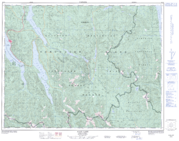
Alice Lake - 92 L/6 - British Columbia

Alice Lake - 92 L/6 - British Columbia

Canadian topographic map of Alice Lake, British Columbia. NTS sheet 092L06 Edition 3.

Page Size: 32.25 x 25.5 in (814 x 644 mm)

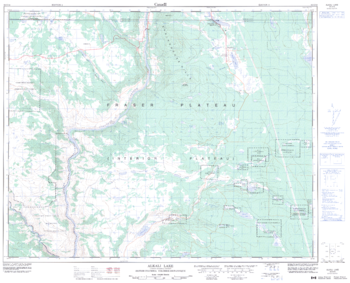
Alkali Lake - 92 O/16 - British Columbia

Alkali Lake - 92 O/16 - British Columbia

Canadian topographic map of Alkali Lake, British Columbia. NTS sheet 092O16 Edition 4.

Page Size: 31.5 x 25.5 in (795 x 643 mm)

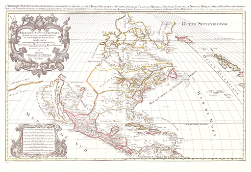
America Septentrionale

America Septentrionale

Contained within the Historical Maps, 1639 to 1949, Atlas of Canada map series, is a reproduction of the original Amerique Septentrionale map by Nicolas Sanson and was published in 1695 by Pierre Mortier in Amsterdam.

Page Size: 35.75 x 24.5 in (908 x 620 mm)

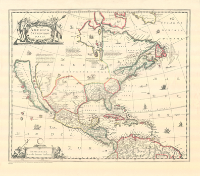
America Septentrionalis

America Septentrionalis

Contained within the Historical Maps, 1639 to 1949, Atlas of Canada map series, is a reproduction of the original 1639 America Septentrionalis map by the Dutch map making family, Hondius.

Page Size: 24 x 21.25 in (604 x 534 mm)

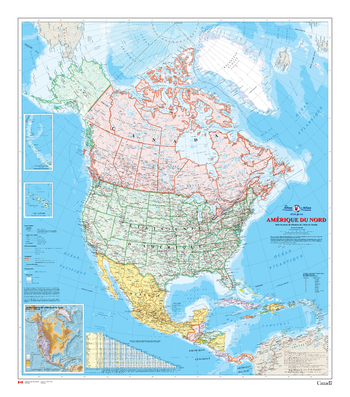
Amérique du Nord - Carte Murale - L'Atlas du Canada

Amérique du Nord - Carte Murale - L'Atlas du Canada

La série de cartes de référence de 1961 à 2010 de l'Atlas du Canada contient la version la plus récente d'une carte mise à jour régulièrement et qui provient de la série de cartes de base de l'Atlas national du Canada. Chaque version présente l'Amérique du Nord à une échelle de 1/10 000 000. La carte de référence générale couvre en détail les lieux habités, les voies de transport et le réseau hydrographique. Les terres émergées sont colorées afin de représenter chaque pays et ses dépendances, tandis que les zones extracôtières le sont afin de montrer la bathymétrie. La carte possède deux cartons : le premier montre Hawaii, également à l'échelle de 1/10 000 000, et le second est un carton de l'Amérique du Nord à l'échelle de 1/53 000 000 montrant le relief et indiquant l'altitude des montagnes importantes. En outre, la carte comporte un tableau des distances entre les grandes villes.

Page Size: 34 x 39 in (864 x 991 mm)

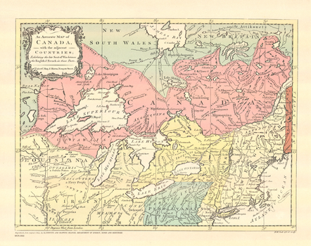
An Accurate Map of Canada with the Adjacent Countries

An Accurate Map of Canada with the Adjacent Countries

Contained within the Historical Maps, 1639 to 1949, Atlas of Canada is a reproduction of the An Accurate Map of Canada with the Adjacent Countries. It was produced by Richard William Seale and published in 1767 in London by J. Hinton.

Page Size: 15.25 x 12 in (383 x 304 mm)
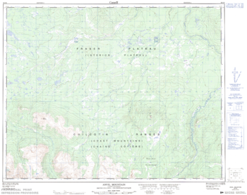
Anvil Mountain - 92 O/6 - British Columbia

Anvil Mountain - 92 O/6 - British Columbia

Canadian topographic map of Anvil Mountain, British Columbia. NTS sheet 092O06 Edition 2.

Page Size: 31.75 x 25.25 in (802 x 636 mm)

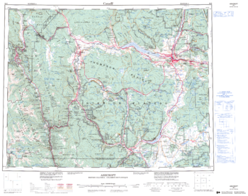
Ashcroft - 92 I - British Columbia

Ashcroft - 92 I - British Columbia

Canadian topographic map of Ashcroft, British Columbia. NTS sheet 092I Edition 3.

Page Size: 27.75 x 22 in (703 x 554 mm)

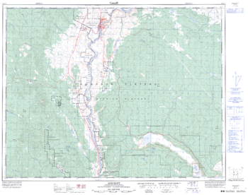
Ashcroft - 92 I/11 - British Columbia

Ashcroft - 92 I/11 - British Columbia

Canadian topographic map of Ashcroft, British Columbia. NTS sheet 092I11 Edition 3.

Page Size: 32.25 x 25.5 in (815 x 643 mm)

Ashnola River - 92 H/1 - British Columbia

Ashnola River - 92 H/1 - British Columbia

Canadian topographic map of Ashnola River, British Columbia. NTS sheet 092H01 Edition 2.

Page Size: 33.25 x 25.5 in (842 x 644 mm)

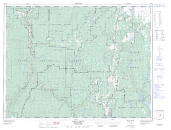
Aspen Grove - 92 H/15 - British Columbia

Aspen Grove - 92 H/15 - British Columbia

Canadian topographic map of Aspen Grove, British Columbia. NTS sheet 092H15 Edition 2.

Page Size: 33.75 x 25.75 in (855 x 652 mm)

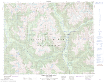
Atwaykellesse River - 92 M/1 - British Columbia

Atwaykellesse River - 92 M/1 - British Columbia

Canadian topographic map of Atwaykellesse River, British Columbia. NTS sheet 092M01 Edition 2.

Page Size: 32.25 x 25.25 in (818 x 638 mm)

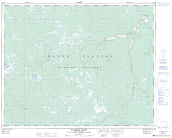
Bambrick Creek - 92 O/11 - British Columbia

Bambrick Creek - 92 O/11 - British Columbia

Canadian topographic map of Bambrick Creek, British Columbia. NTS sheet 092O11 Edition 2.

Page Size: 31.75 x 25.5 in (800 x 642 mm)

bottom of page