top of page
Anchor 1

Natural Resources Canada

empty-logo.png
Bankeir - 92 H/9 - British Columbia

Bankeir - 92 H/9 - British Columbia

Canadian topographic map of Bankeir, British Columbia. NTS sheet 092H09 Edition 2.

Page Size: 32.75 x 25.5 in (826 x 643 mm)

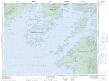
Barkley Sound - 92 C/14 - British Columbia

Barkley Sound - 92 C/14 - British Columbia

Canadian topographic map of Barkley Sound, British Columbia. NTS sheet 092C14 Edition 5.

Page Size: 33.75 x 25.25 in (857 x 638 mm)

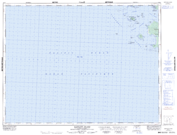
Bartlett Island - 92 E/1 - British Columbia

Bartlett Island - 92 E/1 - British Columbia

Canadian topographic map of Bartlett Island, British Columbia. NTS sheet 092E01 Edition 5.

Page Size: 33.5 x 25.5 in (845 x 643 mm)

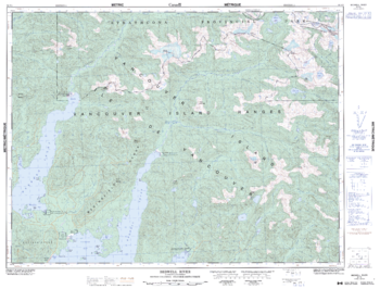
Bedwell River - 92 F/5 - British Columbia

Bedwell River - 92 F/5 - British Columbia

Canadian topographic map of Bedwell River, British Columbia. NTS sheet 092F05 Edition 5.

Page Size: 33.5 x 25.5 in (846 x 643 mm)

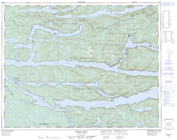
Belize Inlet - 92 M/3 - British Columbia

Belize Inlet - 92 M/3 - British Columbia

Canadian topographic map of Belize Inlet, British Columbia. NTS sheet 092M03 Edition 2.

Page Size: 32 x 25.25 in (807 x 641 mm)

Big Bear Creek - 92 O/1 - British Columbia

Big Bear Creek - 92 O/1 - British Columbia

Canadian topographic map of Big Bear Creek, British Columbia. NTS sheet 092O01 Edition 4.

Page Size: 32 x 25.5 in (807 x 642 mm)

Bird's Eye View of the City of Ottawa

Bird's Eye View of the City of Ottawa

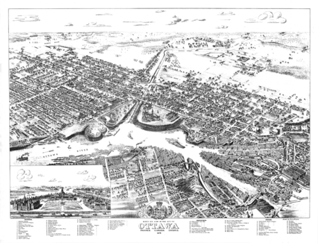
Contained within the Historical Maps, 1639 to 1949, Atlas of Canada map series, is a reproduction of one of the bird's eye view sketches of cities which were very popular in the late 19th century. In this case, it is a black-and-white sketch drawn by Herm. Brosius and originally published by Chicago Litho. Co. As of 1876, Ottawa consisted of only part of Centretown, Byward, and Sandy Hill. The view lists dozens of major buildings at the time. It also has a sketch of the three buildings of Parliament. Of interest, all streets and railway lines are named.

Page Size: 28 x 21.5 in (710 x 543 mm)

Birkenhead Lake - 92 J/10 - British Columbia

Birkenhead Lake - 92 J/10 - British Columbia

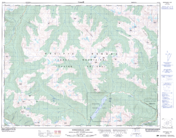
Canadian topographic map of Birkenhead Lake, British Columbia. NTS sheet 092J10 Edition 2.

Page Size: 32.25 x 25.5 in (815 x 642 mm)

Blackney Island - 109 P/8 E - British Columbia

Blackney Island - 109 P/8 E - British Columbia

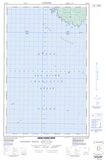
Canadian topographic map of Blackney Island, British Columbia. NTS sheet 102P08 E Edition 1.

Page Size: 18.5 x 28.25 in (466 x 713 mm)

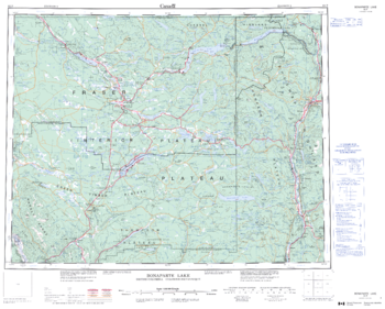
Bonaparte Lake - 92 P - British Columbia

Bonaparte Lake - 92 P - British Columbia

Canadian topographic map of Bonaparte Lake, British Columbia. NTS sheet 092P Edition 3.

Page Size: 27.5 x 22 in (692 x 556 mm)

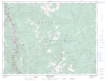
Boston Bar - 92 H/14 - British Columbia

Boston Bar - 92 H/14 - British Columbia

Canadian topographic map of Boston Bar, British Columbia. NTS sheet 092H14 Edition 2.

Page Size: 33.5 x 25.5 in (848 x 641 mm)

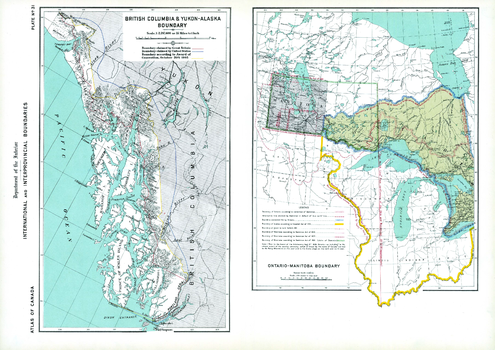
Boundaries of BC-Yukon-Alaska, Ontario-Manitoba (1906)

Boundaries of BC-Yukon-Alaska, Ontario-Manitoba (1906)

Contained within the 1st Edition (1906) of the Atlas of Canada is a plate that consists of 2 maps illustrating international and interprovincial boundary historical claims up to 1906. One map shows Ontario, Manitoba and adjacent parts of the US. The other map shows the Alaska boundary dispute. British Columbia and Yukon - Alaska boundary map displays the respective disputes of Great Britain and the United States, as well as the awarded boundary announced October 20th, 1905. The Ontario-Manitoba boundary map was concentrated on the contestation of the Dominion and Manitoba disputing the Ontario boundary on the west by prolongation of a due north line from the joining of the Ohio and Mississippi, as well as the height of land between the St. Lawrence and Hudson bay. In addition, major railway systems displayed.

Page Size: 24.25 x 17.25 in (613 x 433 mm)

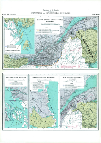
Boundaries of Eastern Canada; San Juan Water Boundary (1906)

Boundaries of Eastern Canada; San Juan Water Boundary (1906)

Contained within the 1st Edition (1906) of the Atlas of Canada is a plate that shows five maps illustrating international and interprovincial boundary claims. Two show the Quebec - New Brunswick - Maine area, and another displays the Canada - Labrador boundary. There are two small maps showing offshore claims; one for the Bay of Fundy, and the other for the Gulf Islands (San Juan) in the Strait of Georgia. The Eastern Canada- United States boundary was commonly called the 'Marine boundary' from 1783 to 1842. There were still many disputes going on at the time, including jurisdiction of Newfoundland, the province of New Brunswick - Quebec and the United States, as well as Vancouver Island. The boundary indicating the Labrador coast was to be claimed by Canada. In addition, major railway systems displayed.

Page Size: 17.25 x 24.25 in (433 x 612 mm)
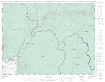
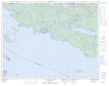
Bradley Lagoon - 92 L/14 - British Columbia

Bradley Lagoon - 92 L/14 - British Columbia

Canadian topographic map of Bradley Lagoon, British Columbia. NTS sheet 092L14 Edition 2.

Page Size: 32.25 x 25.75 in (816 x 649 mm)

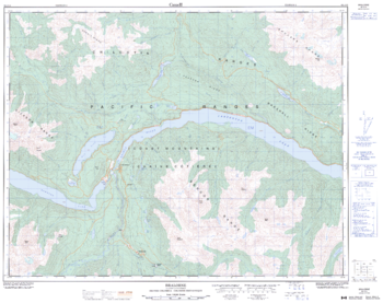
Bralorne - 92 J/15 - British Columbia

Bralorne - 92 J/15 - British Columbia

Canadian topographic map of Bralorne, British Columbia. NTS sheet 092J15 Edition 2.

Page Size: 32 x 25.5 in (810 x 642 mm)

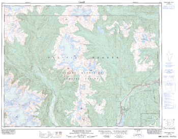
Brandywine Falls - 92 J/3 - British Columbia

Brandywine Falls - 92 J/3 - British Columbia

Canadian topographic map of Brandywine Falls, British Columbia. NTS sheet 092J03 Edition 3.

Page Size: 32.5 x 25.5 in (822 x 641 mm)

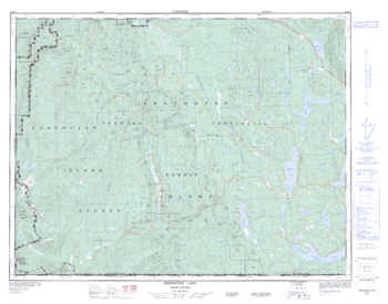
Brewster Lake - 92 K/4 - British Columbia

Brewster Lake - 92 K/4 - British Columbia

Canadian topographic map of Brewster Lake, British Columbia. NTS sheet 092K04 Edition 2.

Page Size: 33.25 x 26.25 in (841 x 662 mm)

Bridge Lake - 92 P/7 - British Columbia

Bridge Lake - 92 P/7 - British Columbia

Canadian topographic map of Bridge Lake, British Columbia. NTS sheet 092P07 Edition 2.

Page Size: 32 x 25.5 in (808 x 645 mm)

Bridge River - 92 J/16 - British Columbia

Bridge River - 92 J/16 - British Columbia

Canadian topographic map of Bridge River, British Columbia. NTS sheet 092J16 Edition 2.

Page Size: 32.5 x 25.5 in (821 x 646 mm)

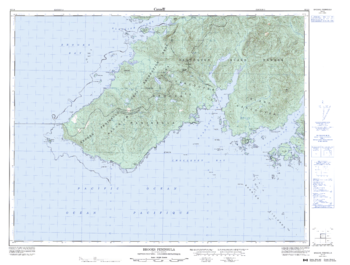
Brooks Peninsula - 92 L/4 - British Columbia

Brooks Peninsula - 92 L/4 - British Columbia

Canadian topographic map of Brooks Peninsula, British Columbia. NTS sheet 092L04 Edition 3.

Page Size: 34.25 x 26 in (865 x 655 mm)

bottom of page