Natural Resources Canada
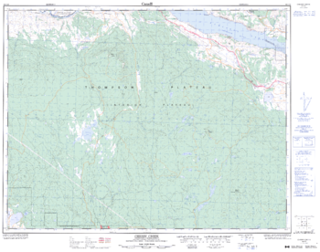
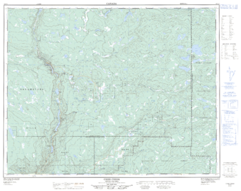
Cherry Creek - 92 I/10 - British Columbia
Canadian topographic map of Cherry Creek, British Columbia. NTS sheet 092I10 Edition 3.
Page Size: 32.25 x 25.5 in (816 x 643 mm)
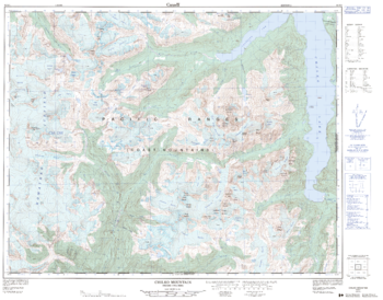
Chilko Mountain - 92 N/1 - British Columbia
Canadian topographic map of Chilko Mountain, British Columbia. NTS sheet 092N01 Edition 2.
Page Size: 32.5 x 25.5 in (821 x 642 mm)
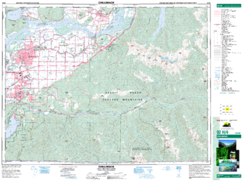
Chilliwack - 92 H/4 - British Columbia
Canadian topographic map of Chilliwack, British Columbia. NTS sheet 092H04 Edition 9.
Page Size: 34.75 x 26 in (880 x 659 mm)
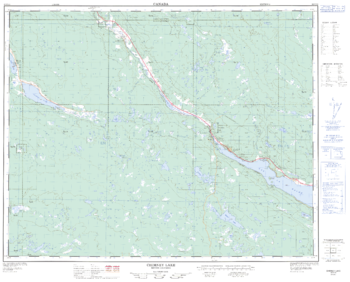
Chimney Lake - 92 P/13 - British Columbia
Canadian topographic map of Chimney Lake, British Columbia. NTS sheet 092P13 Edition 2.
Page Size: 31.5 x 25.5 in (795 x 642 mm)
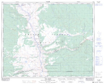
Chu Chua Creek - 92 P/8 - British Columbia
Canadian topographic map of Chu Chua Creek, British Columbia. NTS sheet 092P08 Edition 3.
Page Size: 31.75 x 25.25 in (804 x 641 mm)
Churn Creek - 92 O/7 - British Columbia
Canadian topographic map of Churn Creek, British Columbia. NTS sheet 092O07 Edition 3.
Page Size: 31.5 x 25.25 in (800 x 637 mm)
Clearwater - 92 P/9 - British Columbia
Canadian topographic map of Clearwater, British Columbia. NTS sheet 092P09 Edition 2.
Page Size: 31.5 x 25.5 in (799 x 643 mm)
Clendenning Creek - 92 J/5 - British Columbia
Canadian topographic map of Clendenning Creek, British Columbia. NTS sheet 092J05 Edition 1.
Page Size: 32.25 x 25.5 in (813 x 641 mm)
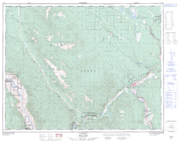
Clinton - 92 P/4 - British Columbia
Canadian topographic map of Clinton, British Columbia. NTS sheet 092P04 Edition 2.
Page Size: 32 x 25.5 in (812 x 643 mm)
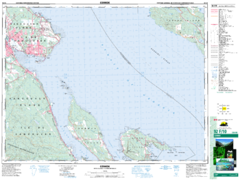
Comox - 92 F/10 - British Columbia
Canadian topographic map of Comox, British Columbia. NTS sheet 092F10 Edition 5.
Page Size: 34.5 x 26 in (873 x 659 mm)
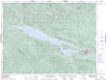
Cowichan Lake - 92 C/16 - British Columbia
Canadian topographic map of Cowichan Lake, British Columbia. NTS sheet 092C16 Edition 3.
Page Size: 33.75 x 25.25 in (854 x 635 mm)
Criss Creek - 92 P/2 - British Columbia
Canadian topographic map of Criss Creek, British Columbia. NTS sheet 092P02 Edition 2.
Page Size: 32 x 25.5 in (812 x 644 mm)
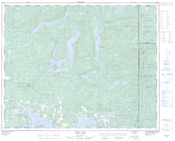
Deka Lake - 92 P/10 - British Columbia
Canadian topographic map of Deka Lake, British Columbia. NTS sheet 092P10 Edition 2.
Page Size: 31.5 x 25.5 in (799 x 642 mm)
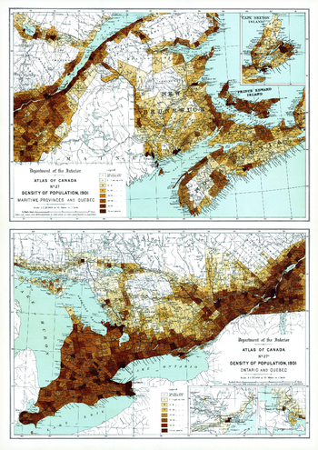
Density of Population Maritime Provinces, Quebec, Ontario (1906)
Contained within the 1st Edition (1906) of the Atlas of Canada is a plate that shows two maps. The maps show the density of population per square mile for every township the Maritime Provinces, Quebec and Ontario, circa 1901. Cities and towns of 5000 inhabitants or more are shown as black dots. The size of the circle is proportionate to the population. The map uses eight classes, seven of which are shades of brown, more densely populated portions are shown in the darker tints. Numbers make it clear which class is being shown in any one township.
Page Size: 17.25 x 24.25 in (433 x 612 mm)
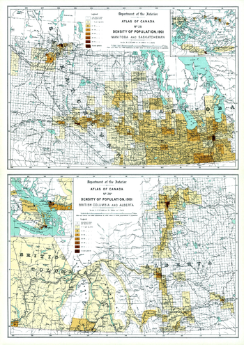
Density of Population, Western Canada (1906)
Contained within the 1st Edition (1906) of the Atlas of Canada is a plate that shows two maps. The maps show the density of population per square mile for every township in Manitoba, Saskatchewan, British Columbia, Alberta, circa 1901. The statistics from the 1901 census are used, yet the population of Saskatchewan and Alberta is shown as confined within the vicinity of the railways, this is because the railways have been brought up to date of publication, 1906. Cities and towns of 5000 inhabitants or more are shown as black dots. The size of the circle is proportionate to the population. The map uses eight classes, seven of which are shades of brown, more densely populated portions are shown in the darker tints. Numbers make it clear which class is being shown in any one township. Major railway systems are shown. The map also displays the rectangular survey system which records the land that is available to the public.
Page Size: 17.25 x 24.25 in (433 x 612 mm)
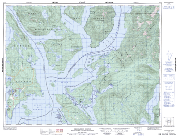
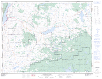
Desolation Sound - 92 K/2 - British Columbia
Canadian topographic map of Desolation Sound, British Columbia. NTS sheet 092K02 Edition 2.
Page Size: 32.75 x 25.5 in (831 x 644 mm)
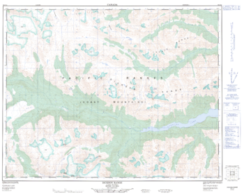
Dickson Range - 92 J/14 - British Columbia
Canadian topographic map of Dickson Range, British Columbia. NTS sheet 092J14 Edition 1.
Page Size: 32 x 25.5 in (811 x 645 mm)
Dog Creek - 92 O/9 - British Columbia
Canadian topographic map of Dog Creek, British Columbia. NTS sheet 092O09 Edition 4.
Page Size: 31.75 x 25.5 in (804 x 647 mm)
Douglas Lake - 92 I/1 - British Columbia
Canadian topographic map of Douglas Lake, British Columbia. NTS sheet 092I01 Edition 2.
Page Size: 32.5 x 25.25 in (822 x 640 mm)
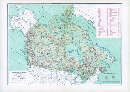
Drainage Basins (1906)
Contained within the 1st Edition (1906) of the Atlas of Canada is a map that shows the delineation of drainage basins. The geographic extent of each drainage basin is delineated and the total area drained for each basin is provided in square miles. This includes the great oceanic drainage basin and the Hudson Bay basin. Only the Canadian drainage area is indicated on the map for basins that lie partly in the United States. There is also a table listing the lengths of major rivers of Canada and their principal tributaries.
Page Size: 24.25 x 17.25 in (611 x 432 mm)