top of page
The Times Map of the Great Lakes (Canada)
The Times
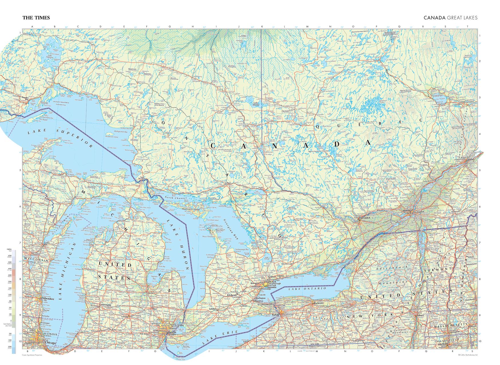
This map of the Great Lakes region in Canada stands as a benchmark of cartographic excellence, sourced from the industry-leading Times Comprehensive Atlas of the World. Published in full colour, this map offers a comprehensive and updated view of the Great Lakes. Lake Superior, Lake Huron, Lake Erie, and Lake Ontario are all clearly identifiable, as are the numerous smaller lakes in this region. Cities including Toronto, Ottawa, and Montreal are also clearly visible. With meticulous attention to detail, this map is an indispensable guide to the geographic intricacies of the Great Lakes.
Page Size: 36.5 x 26.75 in (924 x 675 mm)
Buy this map on MapTrove.ca
bottom of page