The Times

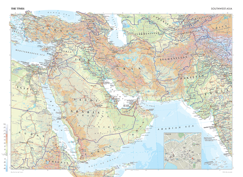
The Times Map of Asia (Southwest)
This map of Southwest Asia stands as a benchmark of cartographic excellence, sourced from the industry-leading Times Comprehensive Atlas of the World. Published in full colour, this map offers a comprehensive and updated view of the diverse landscapes that characterise this region. Mapping covers Saudi Arabia, Iran, Afghanistan, Pakistan, Turkey, and Yemen, amongst others, with an additional inset street map of Karachi. Prominent geographical features including deserts, oceans and urban centres clearly identifiable, as are major cities including Delhi, Dubai, Sofia, and Al Qahirah (Cairo). With meticulous attention to detail, this map is an indispensable guide to the geographic intricacies of Southwest Asia.
Page Size: 36.5 x 26.75 in (924 x 675 mm)
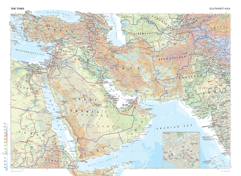
The Times Map of Asia (Southwest) - Compact
This map of Southwest Asia stands as a benchmark of cartographic excellence, sourced from the industry-leading Times Comprehensive Atlas of the World. Published in full colour, this map offers a comprehensive and updated view of the diverse landscapes that characterise this region. Mapping covers Saudi Arabia, Iran, Afghanistan, Pakistan, Turkey, and Yemen, amongst others, with an additional inset street map of Karachi. Prominent geographical features including deserts, oceans and urban centres clearly identifiable, as are major cities including Delhi, Dubai, Sofia, and Al Qahirah (Cairo). With meticulous attention to detail, this map is an indispensable guide to the geographic intricacies of Southwest Asia.
Page Size: 22.25 x 16.25 in (561 x 410 mm)
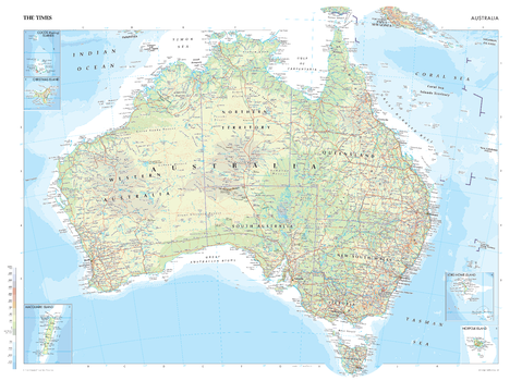
The Times Map of Australia
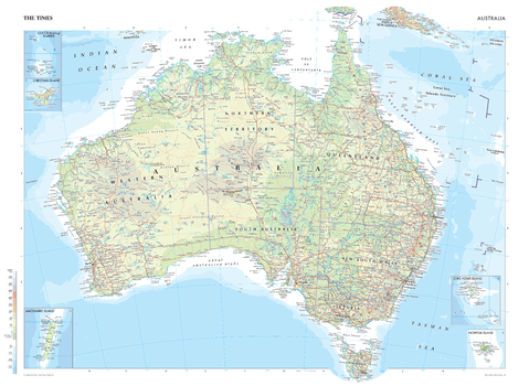
This map of Australia is a benchmark of cartographic excellence, taken from the industry leading Times Comprehensive Atlas of the World. There is a high level of detail packed into the map, with five additional inset maps showing the surrounding islands: Cocos (Keeling) Islands, Christmas Island, Macquarie Island, Norfolk Island, and Lord Howe Island. The state and territory capitals of Brisbane, Darwin, Hobart (Tasmania), Melbourne, Perth and Sydney are easily identifiable, as is Australia’s capital city, Canberra. Further detailing identifies mountain ranges such as the Great Dividing Range, and reef systems, including the Great Barrier Reef. Each element is carefully chosen to make the map a coherent and attractive visual guide to Australia.
Page Size: 36.5 x 26.75 in (924 x 675 mm)
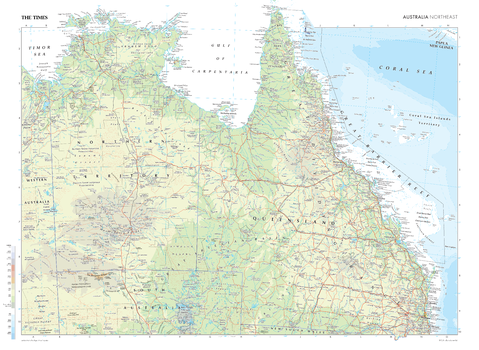
The Times Map of Australia (Northeast)
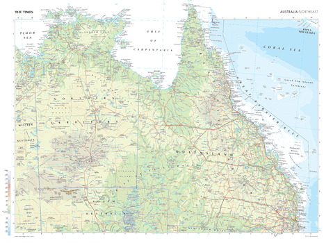
This map of Australia's Northeast region is a benchmark of cartographic excellence, sourced from the industry-leading The Times Comprehensive Atlas of the World. Presented in full colour and thoroughly updated, readers can clearly identify features such as the Great Barrier Reef, the Coral Sea, and the Queensland coastline, as well as key cities including: Brisbane and Townsville. Carefully curated to ensure coherence and attractiveness, each element of this map has been thoughtfully selected to provide a clear and engaging visual guide to Australia's Northeast regions.
Page Size: 36.5 x 26.75 in (924 x 675 mm)
The Times Map of Australia (Northeast) - Compact
This map of Australia's Northeast region is a benchmark of cartographic excellence, sourced from the industry-leading The Times Comprehensive Atlas of the World. Presented in full colour and thoroughly updated, readers can clearly identify features such as the Great Barrier Reef, the Coral Sea, and the Queensland coastline, as well as key cities including: Brisbane and Townsville. Carefully curated to ensure coherence and attractiveness, each element of this map has been thoughtfully selected to provide a clear and engaging visual guide to Australia's Northeast regions.
Page Size: 22.25 x 16.25 in (561 x 410 mm)
The Times Map of Australia (Southeast)
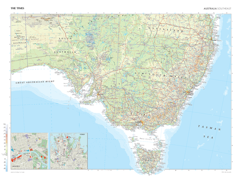
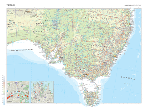
This map of Southeast Australia is a benchmark of cartographic excellence, taken from the industry leading Times Comprehensive Atlas of the World. This coastal map depicts the regions of Queensland, Victoria, New South Wales, South Australia, as well as Tasmania. The state and territory capitals of Brisbane, Darwin, Canberra, Hobart (Tasmania), Perth, Melbourne and Sydney are easily identifiable and there are additional inset maps of Melbourne and Sydney with street level detail. Carefully curated to ensure coherence and attractiveness, each element of this map has been thoughtfully selected to provide a clear and engaging visual guide to Australia's Southeast.
Page Size: 36.5 x 26.75 in (924 x 675 mm)
The Times Map of Australia (Southeast) - Compact
This map of Southeast Australia is a benchmark of cartographic excellence, taken from the industry leading Times Comprehensive Atlas of the World. This coastal map depicts the regions of Queensland, Victoria, New South Wales, South Australia, as well as Tasmania. The state and territory capitals of Brisbane, Darwin, Canberra, Hobart (Tasmania), Perth, Melbourne and Sydney are easily identifiable and there are additional inset maps of Melbourne and Sydney with street level detail. Carefully curated to ensure coherence and attractiveness, each element of this map has been thoughtfully selected to provide a clear and engaging visual guide to Australia's Southeast.
Page Size: 22.25 x 16.25 in (561 x 410 mm)
The Times Map of Australia (West)
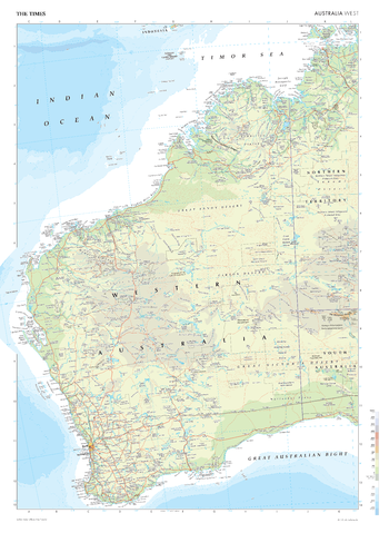
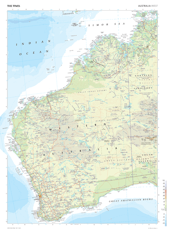
This map of Australia's west region is a benchmark of cartographic excellence, sourced from the industry-leading Times Comprehensive Atlas of the World. Presented in full colour and thoroughly updated, readers can easily identify prominent features, such as the vast stretches of the Great Victoria Desert, the rugged coastline along the Indian Ocean, as well as the state capital, Perth. Carefully curated to ensure coherence and attractiveness, each element of this map has been thoughtfully selected to provide a clear and engaging visual guide to Australia's West regions.
Page Size: 26.75 x 36.5 in (675 x 924 mm)
The Times Map of Australia (West) - Compact
This map of Australia's west region is a benchmark of cartographic excellence, sourced from the industry-leading Times Comprehensive Atlas of the World. Presented in full colour and thoroughly updated, readers can easily identify prominent features, such as the vast stretches of the Great Victoria Desert, the rugged coastline along the Indian Ocean, as well as the state capital, Perth. Carefully curated to ensure coherence and attractiveness, each element of this map has been thoughtfully selected to provide a clear and engaging visual guide to Australia's West regions.
Page Size: 16.25 x 22.25 in (410 x 561 mm)
The Times Map of Australia - Compact
This map of Australia is a benchmark of cartographic excellence, taken from the industry leading Times Comprehensive Atlas of the World. There is a high level of detail packed into the map, with five additional inset maps showing the surrounding islands: Cocos (Keeling) Islands, Christmas Island, Macquarie Island, Norfolk Island, and Lord Howe Island. The state and territory capitals of Brisbane, Darwin, Hobart (Tasmania), Melbourne, Perth and Sydney are easily identifiable, as is Australia’s capital city, Canberra. Further detailing identifies mountain ranges such as the Great Dividing Range, and reef systems, including the Great Barrier Reef. Each element is carefully chosen to make the map a coherent and attractive visual guide to Australia.
Page Size: 22.25 x 16.25 in (561 x 410 mm)
The Times Map of Australia, New Zealand and Southwest Pacific
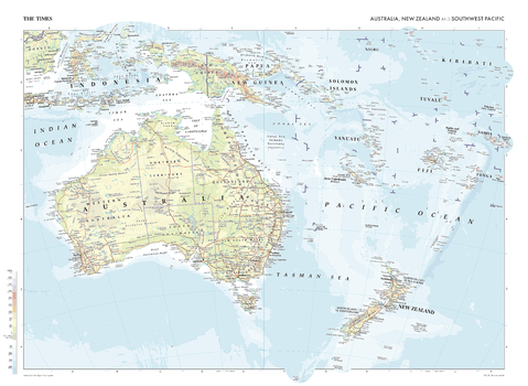
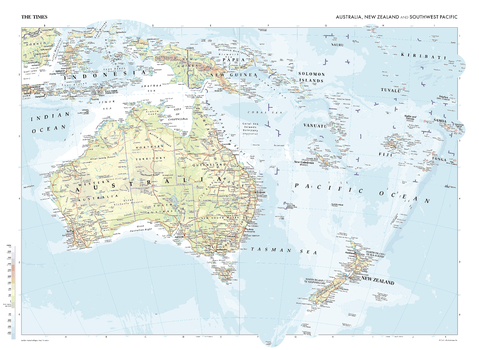
This map of Australia, New Zealand and the Southwest Pacific is a benchmark of cartographic excellence, taken from the industry leading Times Comprehensive Atlas of the World. Showing Indonesia, Papa New Guinea, Australia and New Zealand as well as the Pacific Islands, including: Snares Islands, Auckland Islands, Bounty Islands, Antipodes Islands, and Niue. Each element is carefully chosen to make the map a coherent and attractive visual guide to Australia, New Zealand and the Southwest Pacific.
Page Size: 36.5 x 26.75 in (924 x 675 mm)
The Times Map of Australia, New Zealand and Southwest Pacific - Compact
This map of Australia, New Zealand and the Southwest Pacific is a benchmark of cartographic excellence, taken from the industry leading Times Comprehensive Atlas of the World. Showing Indonesia, Papa New Guinea, Australia and New Zealand as well as the Pacific Islands, including: Snares Islands, Auckland Islands, Bounty Islands, Antipodes Islands, and Niue. Each element is carefully chosen to make the map a coherent and attractive visual guide to Australia, New Zealand and the Southwest Pacific.
Page Size: 22.25 x 16.25 in (561 x 410 mm)
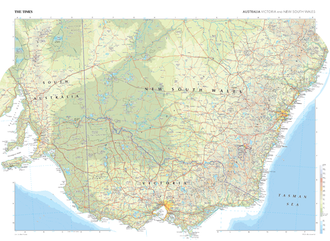
The Times Map of Australia: Victoria and New South Wales
This map of Australia's Victoria and New South Wales regions is a benchmark of cartographic excellence, sourced from the esteemed Times Comprehensive Atlas of the World. The map's full colour presentation offers a encompassing and updated view of these two significant states. Distinct boundaries and key features allow for easy identification of Victoria and New South Wales within Australia's vast landscape. Noteworthy cities such as Melbourne, Sydney, Adelaide and Canberra are prominently marked. With meticulous attention to detail, this map is an indispensable guide to the geographic intricacies of Victoria and New South Wales.
Page Size: 36.5 x 26.75 in (924 x 675 mm)
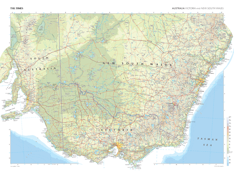
The Times Map of Australia: Victoria and New South Wales - Compact
This map of Australia's Victoria and New South Wales regions is a benchmark of cartographic excellence, sourced from the esteemed Times Comprehensive Atlas of the World. The map's full colour presentation offers a encompassing and updated view of these two significant states. Distinct boundaries and key features allow for easy identification of Victoria and New South Wales within Australia's vast landscape. Noteworthy cities such as Melbourne, Sydney, Adelaide and Canberra are prominently marked. With meticulous attention to detail, this map is an indispensable guide to the geographic intricacies of Victoria and New South Wales.
Page Size: 22.25 x 16.25 in (561 x 410 mm)
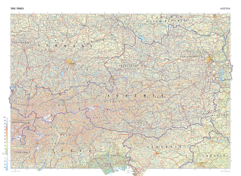
The Times Map of Austria
This map of Austria is a benchmark of cartographic excellence, taken from the industry leading Times Comprehensive Atlas of the World. There is a high level of detail packed into the map, yet the positioning of every element is carefully chosen to make the map coherent and attractive. Austria’s states are clearly labelled with their capitals of Salzburg, Innsbruck, Graz and Linz – as well as the capital city: Wien (Vienna) – specifically marked. The map also provides additional detailing of Southeast Germany, Northern Italy, and Northern Slovenia. Each element is carefully chosen to make the map a coherent and attractive visual guide to Austria.
Page Size: 36.5 x 26.75 in (924 x 675 mm)
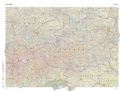
The Times Map of Austria - Compact
This map of Austria is a benchmark of cartographic excellence, taken from the industry leading Times Comprehensive Atlas of the World. There is a high level of detail packed into the map, yet the positioning of every element is carefully chosen to make the map coherent and attractive. Austria’s states are clearly labelled with their capitals of Salzburg, Innsbruck, Graz and Linz – as well as the capital city: Wien (Vienna) – specifically marked. The map also provides additional detailing of Southeast Germany, Northern Italy, and Northern Slovenia. Each element is carefully chosen to make the map a coherent and attractive visual guide to Austria.
Page Size: 22.25 x 16.25 in (561 x 410 mm)
The Times Map of Bolivia, Peru, and Brazil (West)
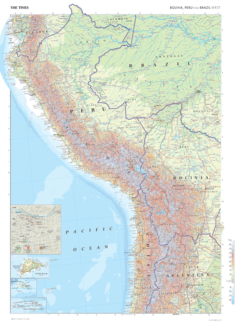
This map of Bolivia, Peru, and Brazil's Western region stands as a benchmark of cartographic excellence, sourced from the industry-leading Times Comprehensive Atlas of the World. Published in full colour, this map offers a comprehensive and updated view of the diverse landscapes and attractions that characterise this area. This map includes prominent features such as the Andes mountains, Amazon rainforest, key cities, and landmarks. Additional mapping covers parts of Chile, Argentina and Ecuador. Notably, the map also includes a city plan inset of Lima, providing an extra layer of detail to this historic capital. With meticulous attention to detail, this map is an indispensable guide to the geographic intricacies and highlights of Bolivia, Peru, and Brazil's Western region.
Page Size: 26.75 x 36.5 in (675 x 924 mm)
The Times Map of Bolivia, Peru, and Brazil (West) - Compact
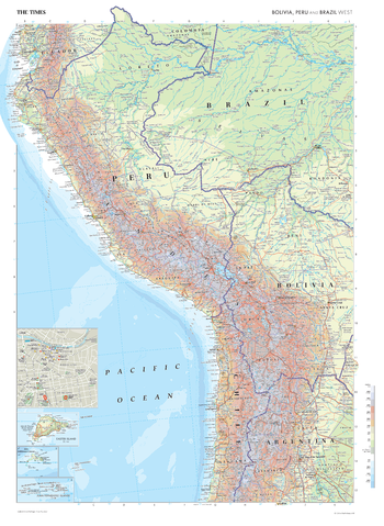
This map of Bolivia, Peru, and Brazil's Western region stands as a benchmark of cartographic excellence, sourced from the industry-leading Times Comprehensive Atlas of the World. Published in full colour, this map offers a comprehensive and updated view of the diverse landscapes and attractions that characterise this area. This map includes prominent features such as the Andes mountains, Amazon rainforest, key cities, and landmarks. Additional mapping covers parts of Chile, Argentina and Ecuador. Notably, the map also includes a city plan inset of Lima, providing an extra layer of detail to this historic capital. With meticulous attention to detail, this map is an indispensable guide to the geographic intricacies and highlights of Bolivia, Peru, and Brazil's Western region.
Page Size: 16.25 x 22.25 in (410 x 561 mm)
The Times Map of Brazil (Central) and Paraguay
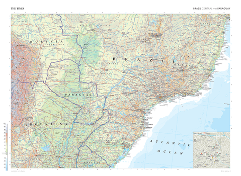
This map of Brazil's Central region and Paraguay stands as a benchmark of cartographic excellence, sourced from the industry-leading Times Comprehensive Atlas of the World. Published in full colour, this map offers a comprehensive and updated view of the diverse landscapes and attractions that characterise this area. Mapping covers central Brazil and Paraguay in full, with additional coverage of sections of Argentina, Uruguay and Bolivia. Additionally, the map features a city plan inset of São Paulo, offering an extra layer of detail to this bustling metropolis. With meticulous attention to detail, this map is an indispensable guide to the geographic intricacies and highlights of Brazil's Central region and Paraguay.
Page Size: 36.5 x 26.75 in (924 x 675 mm)
The Times Map of Brazil (Central) and Paraguay - Compact
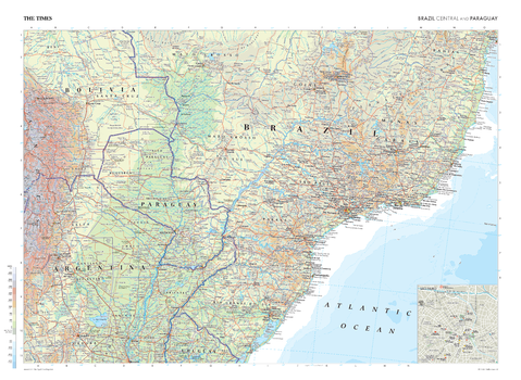
This map of Brazil's Central region and Paraguay stands as a benchmark of cartographic excellence, sourced from the industry-leading Times Comprehensive Atlas of the World. Published in full colour, this map offers a comprehensive and updated view of the diverse landscapes and attractions that characterise this area. Mapping covers central Brazil and Paraguay in full, with additional coverage of sections of Argentina, Uruguay and Bolivia. Additionally, the map features a city plan inset of São Paulo, offering an extra layer of detail to this bustling metropolis. With meticulous attention to detail, this map is an indispensable guide to the geographic intricacies and highlights of Brazil's Central region and Paraguay.
Page Size: 22.25 x 16.25 in (561 x 410 mm)
